Charnwood
Charnwood/P/26/0197/2
64 Grangefields Drive, Rothley, Leicestershire, LE7 7NB
- Reference
- Charnwood/P/26/0197/2
- Authority
- Charnwood
- Address
- 64 Grangefields Drive, Rothley, Leicestershire, LE7 7NB
- Postcode
- LE7 7NB
- Received
- 24 Mar 2026
- Started
- 24 Mar 2026
- Source council
- Charnwood
- Council source record
- View public record
- Public data licence
- Open Government Licence v3.0
- Record updated
- 9 Jul 2026
- SEO index generated
- 24 Jul 2026
Location
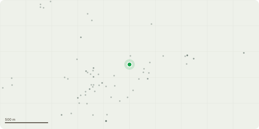
Approximate location
Proposal
T1, Oak, Crown reduce the southern side of the crown by 2-3m. Reduce the remaining crown by 1-2m to balance.(see pics attached for approx. pruning line) Pruning works to be the final stage of a 10 year program. Although the original application is now out of date. The final stage was delayed due to a lack of internal growth /Pruning points available. We now feel that the inner and lower crown has produced enough growth to allow the reduction needed. Inonotus Dryadues was present during the original inspection (June 2009) but was not present on the recent visit.(Jan 2026) Ganoderma is visible at the base of the trunk with several decay pockets between the buttresses showing signs of white rot. The western upright limb has several wood pecker holes which suggests that hollowing / decay is present within the upper crown.
Key dates
- Received 24 Mar 2026
- Started 24 Mar 2026
Planning history / related applications
No related planning applications have been identified in the current public OGL dataset.
Inside plotEdge
Go beyond the public record
This page is the public OGL record. plotEdge adds the private intelligence layer for this site - open it in the app to unlock:
- Ownership & title Registered owner and title from HM Land Registry.
- Viability & build potential Site scoring and development upside.
- Constraints Flood risk, green belt, conservation areas and designations.
- Approval signal Planning risk and approval-likelihood analysis.
- Comparable applications Decisions on similar nearby sites, side by side.
- Status alerts Get notified the moment this application changes.
Source: public planning application data from Charnwood, reused under the Open Government Licence v3.0. View the council source record. Council documents and drawings are not republished on plotEdge.