Charnwood
Charnwood/P/25/1964/2
22 Victoria Road, Woodhouse Eaves, Leicestershire, LE12 8RF
- Reference
- Charnwood/P/25/1964/2
- Authority
- Charnwood
- Address
- 22 Victoria Road, Woodhouse Eaves, Leicestershire, LE12 8RF
- Postcode
- LE12 8RF
- Received
- 2 Oct 2025
- Started
- 2 Oct 2025
- Source council
- Charnwood
- Council source record
- View public record
- Public data licence
- Open Government Licence v3.0
- Record updated
- 9 Jul 2026
- SEO index generated
- 24 Jul 2026
Location
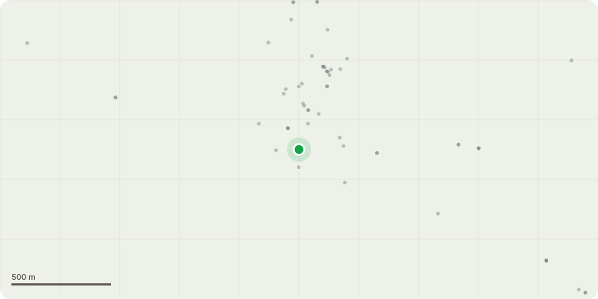
Approximate location
Proposal
T1 Oak near bottom of driveway with bleeding canker observed to dismantle to a low stump. T2 Sycamore adj up the driveway to remove one low branch to main stem collar overhanging the driveway. T3 and T4 Dismantle two dead pines (tall and skinny with no live growth observed in the top) adj the driveway to just above ground level. T5 Fell dead Medlar tree on main lawn. T6 T7 Cedar to remove one low stem as growing onto garage roof to main stem collar. Deadwood this and the adj Cedar. T8 Ash tree overhanging the property remove to collar on low branch and reduce house side by 1m to give ample clearance. T9 Sweet chestnut adj to remove two low branches over the roof and the other almost touching the aerial and to also reduce house side by 1m. T10 Top corner by the composting area dismantle the Rotting Sweet Chestnut with previous fire damage. Stump left same height as adjacent previously felled tree for wildlife/ecological use. The house is surrounded by numerous Mature Trees, this require... read more
Key dates
- Received 2 Oct 2025
- Started 2 Oct 2025
Planning history / related applications
No related planning applications have been identified in the current public OGL dataset.
Inside plotEdge
Go beyond the public record
This page is the public OGL record. plotEdge adds the private intelligence layer for this site - open it in the app to unlock:
- Ownership & title Registered owner and title from HM Land Registry.
- Viability & build potential Site scoring and development upside.
- Constraints Flood risk, green belt, conservation areas and designations.
- Approval signal Planning risk and approval-likelihood analysis.
- Comparable applications Decisions on similar nearby sites, side by side.
- Status alerts Get notified the moment this application changes.
Source: public planning application data from Charnwood, reused under the Open Government Licence v3.0. View the council source record. Council documents and drawings are not republished on plotEdge.