Charnwood
Charnwood/P/25/1527/2
Johns Lee Wood Scout Campsite, Markfield Lane, Newtown Linford, Leicestershire, LE67 9PS
- Reference
- Charnwood/P/25/1527/2
- Authority
- Charnwood
- Address
- Johns Lee Wood Scout Campsite, Markfield Lane, Newtown Linford, Leicestershire, LE67 9PS
- Postcode
- LE67 9PS
- Received
- 25 Jul 2025
- Started
- 25 Jul 2025
- Source council
- Charnwood
- Council source record
- View public record
- Public data licence
- Open Government Licence v3.0
- Record updated
- 9 Jul 2026
- SEO index generated
- 24 Jul 2026
Location
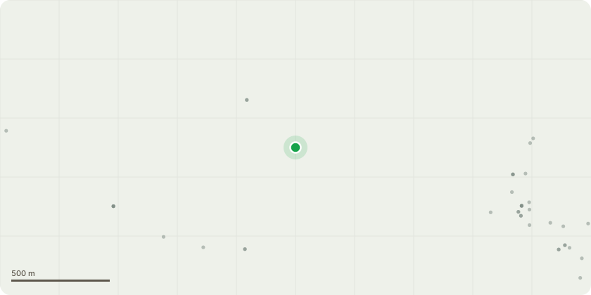
Approximate location
Proposal
///nutty.womb.modifies ID447 Sycamore Upper crown is dead Reduce height to live growth (by approx. 4m). ///biked.seagulls.dozed ID448 Silver Birch Moderate basal decay Reduce height by 7m. ///tortoises.states.diplomats ID449 Sycamore Co-dominant stems from 2m. Main union has included bark causing weak point Reduce height by 5m. ///patch.haggling.spilled ID450 Rowan Partial basal failure with stem leaning over footpath (spot marked with orange eco paint). Remaining basal unions are weak and liable to failure Remove spot marked stem to source Reduce height of remaining stems by 3m. ///handwriting.prom.firming ID451 Silver Birch Hollow at base Reduce height by 5m. ///secret.shell.retire ID452 Black Pine Large sections of hanging deadwood within upper crown - currently appear stable Remove hanging deadwood from upper crown. ///sniff.finds.glove ID453 Silver Birch Upper crown is dead Reduce height to live growth (by approx. 4m). ///smug.cover.laces ID455 Sycamore Tree in decline. Significan... read more
Key dates
- Received 25 Jul 2025
- Started 25 Jul 2025
Planning history / related applications
No related planning applications have been identified in the current public OGL dataset.
Inside plotEdge
Go beyond the public record
This page is the public OGL record. plotEdge adds the private intelligence layer for this site - open it in the app to unlock:
- Ownership & title Registered owner and title from HM Land Registry.
- Viability & build potential Site scoring and development upside.
- Constraints Flood risk, green belt, conservation areas and designations.
- Approval signal Planning risk and approval-likelihood analysis.
- Comparable applications Decisions on similar nearby sites, side by side.
- Status alerts Get notified the moment this application changes.
Source: public planning application data from Charnwood, reused under the Open Government Licence v3.0. View the council source record. Council documents and drawings are not republished on plotEdge.