Charnwood
Charnwood/P/25/0947/2
Orchard House, 2 Charnia Grove, Swithland, Leicestershire, LE12 8XZ
- Reference
- Charnwood/P/25/0947/2
- Authority
- Charnwood
- Address
- Orchard House, 2 Charnia Grove, Swithland, Leicestershire, LE12 8XZ
- Postcode
- LE12 8XZ
- Received
- 6 May 2025
- Started
- 6 May 2025
- Source council
- Charnwood
- Council source record
- View public record
- Public data licence
- Open Government Licence v3.0
- Record updated
- 9 Jul 2026
- SEO index generated
- 24 Jul 2026
Location
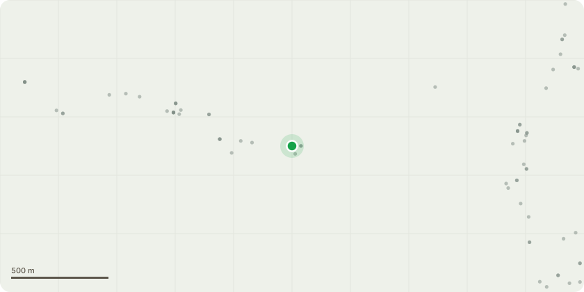
Approximate location
Proposal
T1 Rowan Works - Remove Reason - Dying T2, T3, T4 - Pear trees Works - Remove Reason - Planted as espalier too close to wall, now pushing on the wall and removal is to prevent damage. T5 - Deodar Cedar Works - Remove Reason - Lifting paving, planted too close to the house for the species, not a suitable species for management with crown reductions long term. T6 - Gleditsia triacanthus Works - Remove Reason - Form is poor due to proximity with T5 and not suitable to develop into mature tree. G1 - Group of 3x Weeping Birch Works - Remove Reason - to allow for relandscaping of front garden. G2 - Group of 3x Silver Birch Works - Remove Reason - Poor vigour, allow for relandscaping. T7 - Ash Works - Remove Reason - Self set tree in hedge line with poor form. T8 - Spruce Works - Remove Reason - Proximity to driveway and unsuitable species for location. T9 - Shrimp leaved Sycamore Works - Remove Reason - Lower branches previously removed and form disproportionate and unsightly. T10 - Silver B... read more
Key dates
- Received 6 May 2025
- Started 6 May 2025
Planning history / related applications
No related planning applications have been identified in the current public OGL dataset.
Inside plotEdge
Go beyond the public record
This page is the public OGL record. plotEdge adds the private intelligence layer for this site - open it in the app to unlock:
- Ownership & title Registered owner and title from HM Land Registry.
- Viability & build potential Site scoring and development upside.
- Constraints Flood risk, green belt, conservation areas and designations.
- Approval signal Planning risk and approval-likelihood analysis.
- Comparable applications Decisions on similar nearby sites, side by side.
- Status alerts Get notified the moment this application changes.
Source: public planning application data from Charnwood, reused under the Open Government Licence v3.0. View the council source record. Council documents and drawings are not republished on plotEdge.