Charnwood
Charnwood/P/24/1889/2
The Grange, Brand Hill, Woodhouse Eaves, Leicestershire
- Reference
- Charnwood/P/24/1889/2
- Authority
- Charnwood
- Address
- The Grange, Brand Hill, Woodhouse Eaves, Leicestershire
- Received
- 19 Nov 2024
- Started
- 19 Nov 2024
- Source council
- Charnwood
- Council source record
- View public record
- Public data licence
- Open Government Licence v3.0
- Record updated
- 14 Jul 2026
- SEO index generated
- 24 Jul 2026
Location
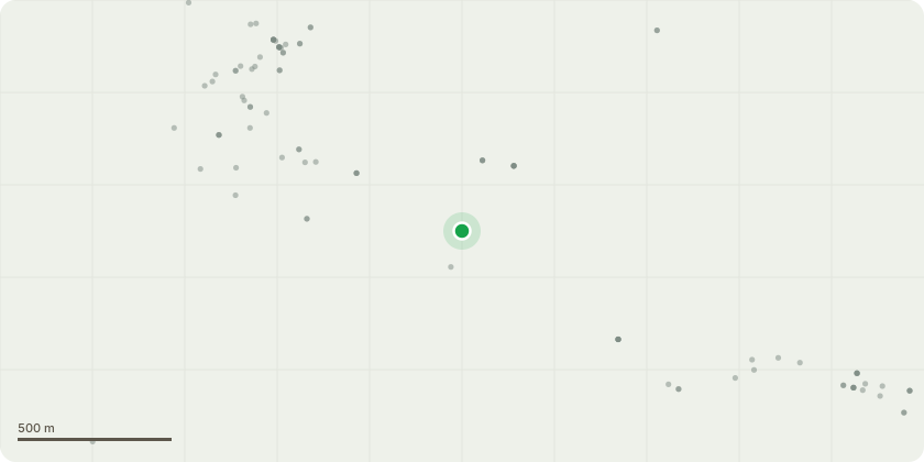
Approximate location
Proposal
Refer to arboricultural survey dated 13th May 2016 (attached), including site plan for details of trees / areas affected and work proposed. Refer to auxiliary plan attached for location of trees T1 - T5. T1 Pine - fell due to proximity to house and outbuildings T2 Oak - fell or prune back due to severe overhand and shading of lawn area T3 Holly - fell due to poor form - stem at 45 degree angle T4 & T5 Sycamore - fell (or reduce height of) two self-set specimens of low quality to improve light levels NOTE - This application is a duplicate of P/16/1449/2 granted 07/07/2016 and is to complete the outstanding works specified in the original Arboricultural Survey above and the auxiliary plan (both attached), as the original consent has now lapsed without the works being completed. Please refer also to CBC Tree Officer's (Dave Carter) Report 0212 included with original application documents which followed a site visit 15th June 2016.
Key dates
- Received 19 Nov 2024
- Started 19 Nov 2024
Planning history / related applications
No related planning applications have been identified in the current public OGL dataset.
Inside plotEdge
Go beyond the public record
This page is the public OGL record. plotEdge adds the private intelligence layer for this site - open it in the app to unlock:
- Ownership & title Registered owner and title from HM Land Registry.
- Viability & build potential Site scoring and development upside.
- Constraints Flood risk, green belt, conservation areas and designations.
- Approval signal Planning risk and approval-likelihood analysis.
- Comparable applications Decisions on similar nearby sites, side by side.
- Status alerts Get notified the moment this application changes.
Source: public planning application data from Charnwood, reused under the Open Government Licence v3.0. View the council source record. Council documents and drawings are not republished on plotEdge.