Charnwood
Charnwood/P/24/1487/2
Rood House, 3 Town Green Street, Rothley, Leicestershire, LE7 7NU
- Reference
- Charnwood/P/24/1487/2
- Authority
- Charnwood
- Address
- Rood House, 3 Town Green Street, Rothley, Leicestershire, LE7 7NU
- Postcode
- LE7 7NU
- Received
- 18 Sept 2024
- Started
- 18 Sept 2024
- Source council
- Charnwood
- Council source record
- View public record
- Public data licence
- Open Government Licence v3.0
- Record updated
- 14 Jul 2026
- SEO index generated
- 24 Jul 2026
Location
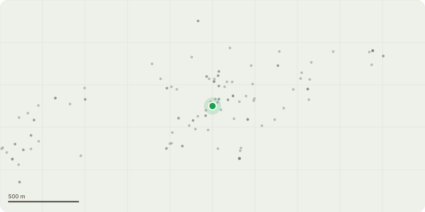
Approximate location
Proposal
T1 Golden conifer remove to ground level. The tree of such a size that if we reduce it it will look terrible and it is supresing the mature tree next to it. G2 dead cherry tree along with 2 other cherry trees and one sycamore tree remove to ground level these trees are located in a very tight area at the rear of the property and are in decline and have no amenity value and will always struggle to survive. T3 Yew tree reduce by 2.5metres and shape tree as the amenity value is high and it is located on a main road. This will bring the tree down to a height of 6metres from ground level. T4 Conifer remove to ground level as this tree is far to close to a listed wall and causing the neighbouring hall no light to entrer the property, and hangs over a road which is used by parents and children. It can be seen that it is pushing the wall and it will only get worse in the next few years. All work will be too BS3998 2010 and carried out by professional and qualified tree surgeons.
Key dates
- Received 18 Sept 2024
- Started 18 Sept 2024
Planning history / related applications
No related planning applications have been identified in the current public OGL dataset.
Inside plotEdge
Go beyond the public record
This page is the public OGL record. plotEdge adds the private intelligence layer for this site - open it in the app to unlock:
- Ownership & title Registered owner and title from HM Land Registry.
- Viability & build potential Site scoring and development upside.
- Constraints Flood risk, green belt, conservation areas and designations.
- Approval signal Planning risk and approval-likelihood analysis.
- Comparable applications Decisions on similar nearby sites, side by side.
- Status alerts Get notified the moment this application changes.
Source: public planning application data from Charnwood, reused under the Open Government Licence v3.0. View the council source record. Council documents and drawings are not republished on plotEdge.