Charnwood
Charnwood/P/24/1345/2
60 Main Street, Woodhouse Eaves, Leicestershire, LE12 8RZ
- Reference
- Charnwood/P/24/1345/2
- Authority
- Charnwood
- Address
- 60 Main Street, Woodhouse Eaves, Leicestershire, LE12 8RZ
- Postcode
- LE12 8RZ
- Received
- 6 Aug 2024
- Started
- 6 Aug 2024
- Source council
- Charnwood
- Council source record
- View public record
- Public data licence
- Open Government Licence v3.0
- Record updated
- 14 Jul 2026
- SEO index generated
- 24 Jul 2026
Location
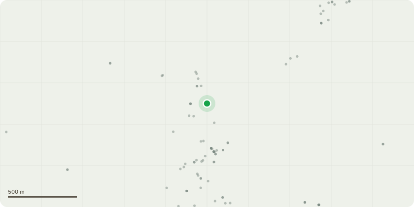
Approximate location
Proposal
TO BE CONFIRMED T1 - Thuja, (Thuja plicata) Recommendations: Take down to ground level Justification: This tree is located in front of two mature specimen magnolia trees including a Bigleaf Magnolia (Magnolia macrophylla). The client would prefer to have the two magnolias in view from the house rather than the thuja. T2, Lawson Cypress, (Chamaecyparis lawsoniana) T3 Mediterranean Cypress, (Cupressus sempervirens) Recommendations: Take down both trees to ground level Justification: These trees have grown close to one another and have outgrown the row they are part of. The spread of the lower crown is now beginning to restrict access on the west side of the tree. If these two trees were removed, it would allow for a better view of the row of 4 remaining Mediterranean Cypress.
Key dates
- Received 6 Aug 2024
- Started 6 Aug 2024
Planning history / related applications
No related planning applications have been identified in the current public OGL dataset.
Inside plotEdge
Go beyond the public record
This page is the public OGL record. plotEdge adds the private intelligence layer for this site - open it in the app to unlock:
- Ownership & title Registered owner and title from HM Land Registry.
- Viability & build potential Site scoring and development upside.
- Constraints Flood risk, green belt, conservation areas and designations.
- Approval signal Planning risk and approval-likelihood analysis.
- Comparable applications Decisions on similar nearby sites, side by side.
- Status alerts Get notified the moment this application changes.
Source: public planning application data from Charnwood, reused under the Open Government Licence v3.0. View the council source record. Council documents and drawings are not republished on plotEdge.