Camden
Camden/2026/0494/L
44 Cleveland Street London W1T 4JT
- Reference
- Camden/2026/0494/L
- Authority
- Camden
- Application type
- Approval of Details (Listed Building)
- Address
- 44 Cleveland Street London W1T 4JT
- Postcode
- W1T 4JT
- Status
- Registered
- Received
- 11 May 2026
- Started
- 11 May 2026
- Source council
- Camden
- Council source record
- View public record
- Public data licence
- Open Government Licence v3.0
- Record updated
- 18 Jul 2026
- SEO index generated
- 24 Jul 2026
Location
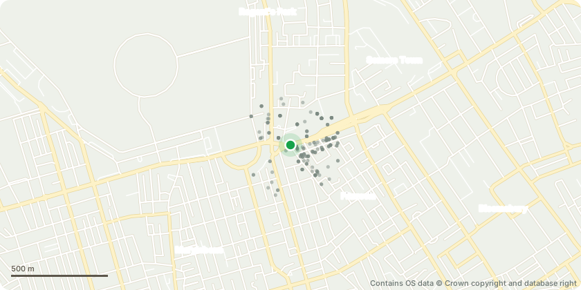
Mapped from public planning coordinates - Contains OS data © Crown copyright and database right
Proposal
Details of external and internal doors for the workhouse (Condition 4c), new porch (Condition 4d), workhouse lift lobby glazing (condition 4g) of listed building consent (ref: 2017/0415/L) dated 15/01/2018 for Various external and internal alterations and extension to the former Workhouse Building in association with the conversion of the building to 8 self-contained flats; demolition of 19th and 20th century wings to the east and south elevations and associated brickwork infilling to match existing; erection of external lift shaft to east elevation with associated creation of new openings within existing walls; demolition of 20th century porch and plant room to front elevation; demolition and replacement of existing roof and installation of conservation roof lights; lowering of the existing parapet to east elevation; opening up of infilled window openings and creation of new window openings to north, east and south elevations; replacement of existing sash windows and doors; removal of existing internal lift shaft; removal of all modern internal partition walls; installation of new internal partition walls throughout and creation of new openings within retained historic walls.
Key dates
- Received 11 May 2026
- Started 11 May 2026
Planning history / related applications
No related planning applications have been identified in the current public OGL dataset.
Inside plotEdge
Go beyond the public record
This page is the public OGL record. plotEdge adds the private intelligence layer for this site - open it in the app to unlock:
- Ownership & title Registered owner and title from HM Land Registry.
- Viability & build potential Site scoring and development upside.
- Constraints Flood risk, green belt, conservation areas and designations.
- Approval signal Planning risk and approval-likelihood analysis.
- Comparable applications Decisions on similar nearby sites, side by side.
- Status alerts Get notified the moment this application changes.
Source: public planning application data from Camden, reused under the Open Government Licence v3.0. View the council source record. Council documents and drawings are not republished on plotEdge.