Camden
Camden/2025/5887/P
Former Service Station, 617 Finchley Road, London, NW3 7BS
- Reference
- Camden/2025/5887/P
- Authority
- Camden
- Application type
- Request for Observations to Adjoining Borough
- Address
- Former Service Station, 617 Finchley Road, London, NW3 7BS
- Postcode
- NW3 7BS
- Status
- Final Decision
- Received
- 10 Feb 2026
- Started
- 10 Feb 2026
- Decided
- 13 Feb 2026
- Source council
- Camden
- Council source record
- View public record
- Public data licence
- Open Government Licence v3.0
- Record updated
- 18 Jul 2026
- SEO index generated
- 24 Jul 2026
Location
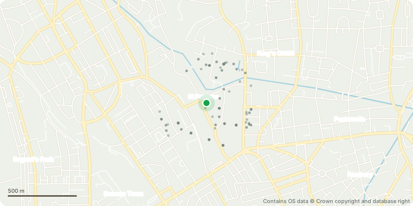
Mapped from public planning coordinates - Contains OS data © Crown copyright and database right
Proposal
Variation of condition 1 (Approved Plans) of planning permission 20/2576/S73 dated 23/07/2024 for 'Redevelopment of the site and erection ofbuilding between 4 to 8 storey's for a mixed use development comprising 28 residential dwellings, and flexible uses at ground floor comprising of A1/A3/D1/D2 floorspace with associated works, landscaping and parking at lower ground levels.' Variation to include provision of a 2-storey car park with car lifts;alterations to internal layouts; alterations to facades and materials; Alterations to courtyard and ground floor amenities and roof terraces including a landscape and drainage strategy'. Variation to include enhancements to ventilation, energy efficiency, fire safety, and acoustic performance; improved access and visual impact through equipment relocation; optimized roof and play spaces; added conservatories and landscaping for noise mitigation and amenity; and internall ayout revisions
Key dates
- Received 10 Feb 2026
- Started 10 Feb 2026
- Decided 13 Feb 2026
Planning history / related applications
No related planning applications have been identified in the current public OGL dataset.
Inside plotEdge
Go beyond the public record
This page is the public OGL record. plotEdge adds the private intelligence layer for this site - open it in the app to unlock:
- Ownership & title Registered owner and title from HM Land Registry.
- Viability & build potential Site scoring and development upside.
- Constraints Flood risk, green belt, conservation areas and designations.
- Approval signal Planning risk and approval-likelihood analysis.
- Comparable applications Decisions on similar nearby sites, side by side.
- Status alerts Get notified the moment this application changes.
Source: public planning application data from Camden, reused under the Open Government Licence v3.0. View the council source record. Council documents and drawings are not republished on plotEdge.