Camden
Camden/2025/3055/P
Main Quadrangle and Wilkins Building Gower Street London WC1E 6BT
- Reference
- Camden/2025/3055/P
- Authority
- Camden
- Application type
- Non Material Amendments
- Address
- Main Quadrangle and Wilkins Building Gower Street London WC1E 6BT
- Postcode
- WC1E 6BT
- Status
- Final Decision
- Received
- 10 Jul 2025
- Started
- 10 Jul 2025
- Decided
- 3 Sept 2025
- Source council
- Camden
- Council source record
- View public record
- Public data licence
- Open Government Licence v3.0
- Record updated
- 18 Jul 2026
- SEO index generated
- 24 Jul 2026
Location
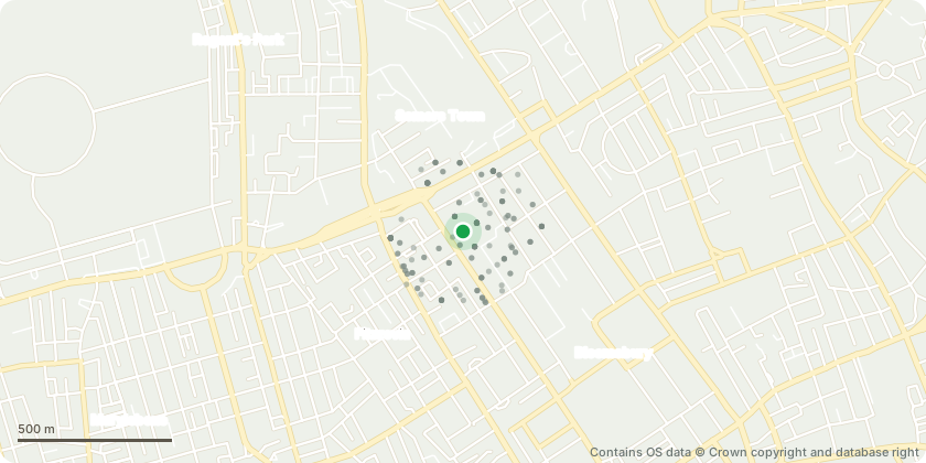
Mapped from public planning coordinates - Contains OS data © Crown copyright and database right
Proposal
Non-material amendment pursuant to Planning Permission Ref No. 2025/0958/P for ‘Variation of Condition 2 (approved plans), Condition 6 (landscaping) and Condition 13 (Biodiversity Net Gain) of planning permission ref. 2024/3177/P dated 29/11/2024 (for: Refurbishment and improvement works to Wilkins Building, including the creation of new openings and replacement of glazing in the Cloisters and adjacent rooms, works for the installation of a new staircase and accessible lift, installation of plant at roof level, landscaping of the Main Quadrangle, introduction of sloped access to buildings, replacement of rooflights for the Slade Building, waterproofing works to Chadwick Building, and associated works) NAMELY, retention of 3no trees, changes to design of planters, reconfiguration of dry risers, relocation of lighting and relocation of disabled parking.’ Namely, to incorporate exhibition display boards and associated infrastructure within the Cloisters, finalise the arrangement of the Whistler murals, amend the lighting display, widen the door from the South Cloisters lobby to the Bernard Katz garden room, replace the existing window overlooking the Provost dining terrace with a door and incorporate wayfinding and signage.
Key dates
- Received 10 Jul 2025
- Started 10 Jul 2025
- Decided 3 Sept 2025
Planning history / related applications
No related planning applications have been identified in the current public OGL dataset.
Inside plotEdge
Go beyond the public record
This page is the public OGL record. plotEdge adds the private intelligence layer for this site - open it in the app to unlock:
- Ownership & title Registered owner and title from HM Land Registry.
- Viability & build potential Site scoring and development upside.
- Constraints Flood risk, green belt, conservation areas and designations.
- Approval signal Planning risk and approval-likelihood analysis.
- Comparable applications Decisions on similar nearby sites, side by side.
- Status alerts Get notified the moment this application changes.
Source: public planning application data from Camden, reused under the Open Government Licence v3.0. View the council source record. Council documents and drawings are not republished on plotEdge.