Camden
Camden/2024/5129/P
Agar Grove Estate Wrotham Road London NW1 9SS
- Reference
- Camden/2024/5129/P
- Authority
- Camden
- Application type
- Non Material Amendments
- Address
- Agar Grove Estate Wrotham Road London NW1 9SS
- Postcode
- NW1 9SS
- Status
- Final Decision
- Received
- 22 Nov 2024
- Started
- 22 Nov 2024
- Decided
- 5 Dec 2024
- Source council
- Camden
- Council source record
- View public record
- Public data licence
- Open Government Licence v3.0
- Record updated
- 18 Jul 2026
- SEO index generated
- 24 Jul 2026
Location
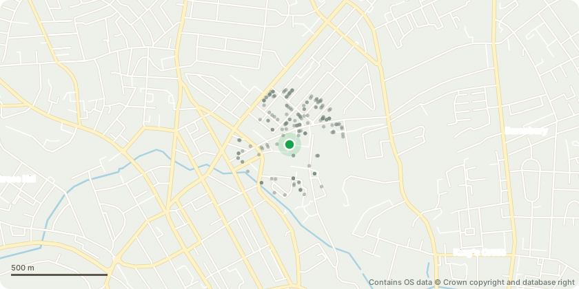
Mapped from public planning coordinates - Contains OS data © Crown copyright and database right
Proposal
Non-Material Amendment to planning reference 2023/0362/P dated 12/02/24 which varied planning permission ref: 2019/4280/P dated 13/10/2020 (which amended 2013/8088/P dated 04/08/2014 in relation to blocks JKL and I, and was amended under 2022/2359/P dated 20/12/2022 in relation to block B) and was amended by NMA 2022/1944/P which further amended blocks JKL and I (demolition of existing buildings and structures except Lulworth House and Agar Children's Centre (249 existing Class C3 residential units and 2 retail units), and erection of new buildings ranging between 4 and 18 storeys in height along with the refurbishment and extension of Lulworth House to provide Class C3 residential units; a community facility (Class D1); 2 flexible retail shop (Class A1) or restaurant and cafe (Class A3) units; business space (Class B1(a)); 2 flexible retail shop (Class A1), business (Class B1) or non-residential institution (Class D1) units); namely to increase size of proposed ASHP enclosures on Blocks JKL and I. NAMELY: Various internal and external alterations.
Key dates
- Received 22 Nov 2024
- Started 22 Nov 2024
- Decided 5 Dec 2024
Planning history / related applications
No related planning applications have been identified in the current public OGL dataset.
Inside plotEdge
Go beyond the public record
This page is the public OGL record. plotEdge adds the private intelligence layer for this site - open it in the app to unlock:
- Ownership & title Registered owner and title from HM Land Registry.
- Viability & build potential Site scoring and development upside.
- Constraints Flood risk, green belt, conservation areas and designations.
- Approval signal Planning risk and approval-likelihood analysis.
- Comparable applications Decisions on similar nearby sites, side by side.
- Status alerts Get notified the moment this application changes.
Source: public planning application data from Camden, reused under the Open Government Licence v3.0. View the council source record. Council documents and drawings are not republished on plotEdge.