Camden
Camden/2024/4406/P
Archway Campus 2 - 10 Highgate Hill London N19 5LP
- Reference
- Camden/2024/4406/P
- Authority
- Camden
- Application type
- Request for Observations to Adjoining Borough
- Address
- Archway Campus 2 - 10 Highgate Hill London N19 5LP
- Postcode
- N19 5LP
- Status
- Final Decision
- Received
- 15 Oct 2024
- Started
- 15 Oct 2024
- Decided
- 23 Oct 2024
- Source council
- Camden
- Council source record
- View public record
- Public data licence
- Open Government Licence v3.0
- Record updated
- 18 Jul 2026
- SEO index generated
- 24 Jul 2026
Location
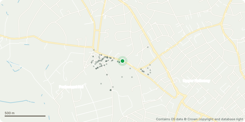
Mapped from public planning coordinates - Contains OS data © Crown copyright and database right
Proposal
Observations to London Borough of Islington for application for full planning permission in relation to: 1) The change of use, partial demolition, restoration and refurbishment of Holborn Union Main Range, Admin Block and Charterhouse Buildings to provide residential accommodation (Use Class C3). 2) Complete demolition of Furnival Building, Ely Building, Staple Building, and other ancillary structures, to allow for the construction of three new buildings to provide residential accommodation (Use Class C3) and local commercial/community space (Use Class E/F2). 3) The change of use, partial demolition, restoration and refurbishment of Clerkenwell Buildings to provide student accommodation (Use Class Sui Generis). 4) Complete demolition of Nurses Accommodation Buildings to allow for the construction of a new tower to provide for student accommodation (Use Class Sui Generis), and associated structure with basement to provide bicycle storage and amenity space. 5) Delivery of a comprehensive hard and soft landscaping scheme, delivering public realm enhancement to include: a central boulevard, public square, gardens, communal play, and children's play area. 6) Associated access, servicing and plant. (EIA Application)
Key dates
- Received 15 Oct 2024
- Started 15 Oct 2024
- Decided 23 Oct 2024
Planning history / related applications
No related planning applications have been identified in the current public OGL dataset.
Inside plotEdge
Go beyond the public record
This page is the public OGL record. plotEdge adds the private intelligence layer for this site - open it in the app to unlock:
- Ownership & title Registered owner and title from HM Land Registry.
- Viability & build potential Site scoring and development upside.
- Constraints Flood risk, green belt, conservation areas and designations.
- Approval signal Planning risk and approval-likelihood analysis.
- Comparable applications Decisions on similar nearby sites, side by side.
- Status alerts Get notified the moment this application changes.
Source: public planning application data from Camden, reused under the Open Government Licence v3.0. View the council source record. Council documents and drawings are not republished on plotEdge.