Camden
Camden/2024/2978/P
Regent's Park Estate (various locations), Esther Randall Court, 9 Laxton Place and open space between Longford Street and 1 Triton Square, London, NW1
- Reference
- Camden/2024/2978/P
- Authority
- Camden
- Application type
- Full Planning Permission
- Address
- Regent's Park Estate (various locations), Esther Randall Court, 9 Laxton Place and open space between Longford Street and 1 Triton Square, London, NW1
- Status
- Final Decision
- Received
- 22 Jul 2024
- Started
- 22 Jul 2024
- Decided
- 17 Oct 2024
- Source council
- Camden
- Council source record
- View public record
- Public data licence
- Open Government Licence v3.0
- Record updated
- 18 Jul 2026
- SEO index generated
- 24 Jul 2026
Location
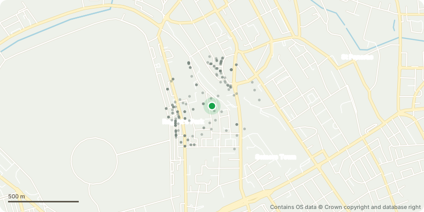
Mapped from public planning coordinates - Contains OS data © Crown copyright and database right
Proposal
'Story Trail' art project consisting of various permanent installations, with interpretation plaques and trail connector signs, including SCULPTURES (Clarence Gardens, Cumberland Market, open space to the north of 1 Triton Square, south elevation of 53-86 Munster Square, west elevation Compton Close and east elevation 77-87 Clarence Gardens, open space in Compton Close and north elevation Citizens Advice Bureau); LIGHT INSTALLATION to roof of 53-86 Munster Square, projecting onto east elevation 25-52 Munster Square; MURALS (east elevation 1-28 Pangbourne, west elevation 1-28 Pangbourne and north elevation 53-86 Munster Square) and SIGNAGE (to footway of Everton Mews, to railings on south side of Mackworth Street at junction with Harrington Street, to railings on south side of Mackworth Street at junction with Stanhope Street, Augustus House (east elevation), Hope Gardens railings (Stanhope Street), to railings on south side of Cumberland Market, 89-141 Robert St (west elevation), undercroft of 89-141 Robert St; to wall around tree Clarence Gardens, The Combe (west elevation), 9 Laxton Place (north elevation), Esther Randall Court (south elevation), 1-67 TROUTBECK (north elevation), Surma Community Centre (south elevation) and Coniston (south elevation)).
Key dates
- Received 22 Jul 2024
- Started 22 Jul 2024
- Decided 17 Oct 2024
Planning history / related applications
No related planning applications have been identified in the current public OGL dataset.
Inside plotEdge
Go beyond the public record
This page is the public OGL record. plotEdge adds the private intelligence layer for this site - open it in the app to unlock:
- Ownership & title Registered owner and title from HM Land Registry.
- Viability & build potential Site scoring and development upside.
- Constraints Flood risk, green belt, conservation areas and designations.
- Approval signal Planning risk and approval-likelihood analysis.
- Comparable applications Decisions on similar nearby sites, side by side.
- Status alerts Get notified the moment this application changes.
Source: public planning application data from Camden, reused under the Open Government Licence v3.0. View the council source record. Council documents and drawings are not republished on plotEdge.