Camden
Camden/2024/2090/L
42-43 Queen Square London WC1N 3AQ
- Reference
- Camden/2024/2090/L
- Authority
- Camden
- Application type
- Listed Building Consent
- Address
- 42-43 Queen Square London WC1N 3AQ
- Postcode
- WC1N 3AQ
- Status
- Final Decision
- Received
- 24 May 2024
- Started
- 24 May 2024
- Decided
- 25 Sept 2024
- Source council
- Camden
- Council source record
- View public record
- Public data licence
- Open Government Licence v3.0
- Record updated
- 18 Jul 2026
- SEO index generated
- 24 Jul 2026
Location
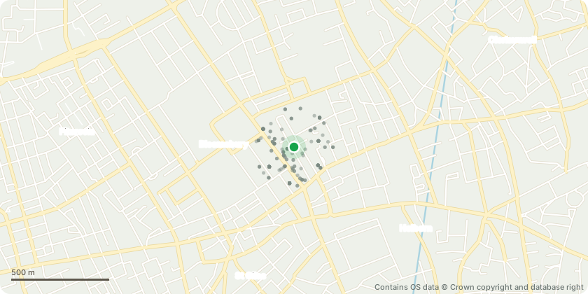
Mapped from public planning coordinates - Contains OS data © Crown copyright and database right
Proposal
External alterations to include installation of canopy lift between lower ground and ground floor level; temporary removal of rooflight to install MRI machine and temporary removal of brickwork to lower ground floor front elevation to install cancer treatment machine; installation of plant at roof level and quench pipe; removal of existing lift; installation of secondary glazing and ; removal of existing ground floor side elevation window and installation of window and door; remedial works to the exterior of the building; the installation of vents above the stairs and associated external alterations. Internal alterations to include installation of bins and cycle parking in the existing vaults; installation of shielded bunker for the cancer treatment machine at lower ground floor level; construction of new partition walls at lower ground, ground, second, third and fourth floor levels; remedial works; installation of new lift and raising of the floor to the rear of 43 Queen Square to provide level access; reinforcement to third floor to support MRI machine; and associated alterations for the use of the building as a healthcare facility (Class E).
Key dates
- Received 24 May 2024
- Started 24 May 2024
- Decided 25 Sept 2024
Planning history / related applications
No related planning applications have been identified in the current public OGL dataset.
Inside plotEdge
Go beyond the public record
This page is the public OGL record. plotEdge adds the private intelligence layer for this site - open it in the app to unlock:
- Ownership & title Registered owner and title from HM Land Registry.
- Viability & build potential Site scoring and development upside.
- Constraints Flood risk, green belt, conservation areas and designations.
- Approval signal Planning risk and approval-likelihood analysis.
- Comparable applications Decisions on similar nearby sites, side by side.
- Status alerts Get notified the moment this application changes.
Source: public planning application data from Camden, reused under the Open Government Licence v3.0. View the council source record. Council documents and drawings are not republished on plotEdge.