Camden
Camden/2023/2785/P
King's Cross Development Zone W (Triangle Site) 180 York Way London N1 0AZ
- Reference
- Camden/2023/2785/P
- Authority
- Camden
- Application type
- Approval of Details
- Address
- King's Cross Development Zone W (Triangle Site) 180 York Way London N1 0AZ
- Postcode
- N1 0AZ
- Status
- Final Decision
- Received
- 6 Sept 2023
- Started
- 6 Sept 2023
- Decided
- 27 Sept 2023
- Source council
- Camden
- Council source record
- View public record
- Public data licence
- Open Government Licence v3.0
- Record updated
- 18 Jul 2026
- SEO index generated
- 24 Jul 2026
Location
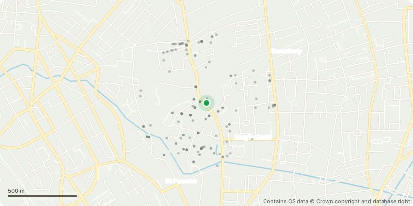
Mapped from public planning coordinates - Contains OS data © Crown copyright and database right
Proposal
Details of external lighting in relation to condition 2 of 2018/5939/P dated 03/04/2019 (for; Amendments to reserved matters application reference 2016/5195/P dated 09/12/2016, relating to the public realm within and around Development Zone W (also known as the 'Triangle Site') of the King's Cross Central (KXC) development, comprising landscape details for the Podium Garden, Northern and Southern Gateways and York Way, as required by conditions 2, 6, 7, 9, 11, 12, 13, 17, 21, 23, 25, and 26 of the Outline Planning Permission with reference 2004/2311/P. Namely reconfiguration of landscaping and trees, change to plant species and landscaping materials, one additional tree, additional loading bay to the Northern Gateway, alterations to the steps at Southern Gateway, alterations to cycle parking, additional soft landscaping to habitat area access route and alteration to Service Yard to enable larger habitat area.)
Key dates
- Received 6 Sept 2023
- Started 6 Sept 2023
- Decided 27 Sept 2023
Planning history / related applications
No related planning applications have been identified in the current public OGL dataset.
Inside plotEdge
Go beyond the public record
This page is the public OGL record. plotEdge adds the private intelligence layer for this site - open it in the app to unlock:
- Ownership & title Registered owner and title from HM Land Registry.
- Viability & build potential Site scoring and development upside.
- Constraints Flood risk, green belt, conservation areas and designations.
- Approval signal Planning risk and approval-likelihood analysis.
- Comparable applications Decisions on similar nearby sites, side by side.
- Status alerts Get notified the moment this application changes.
Source: public planning application data from Camden, reused under the Open Government Licence v3.0. View the council source record. Council documents and drawings are not republished on plotEdge.