Camden
Camden/2023/2491/P
55 Bishopsgate London EC2N 3AS
- Reference
- Camden/2023/2491/P
- Authority
- Camden
- Application type
- Request for Observations to Adjoining Borough
- Address
- 55 Bishopsgate London EC2N 3AS
- Postcode
- EC2N 3AS
- Status
- Final Decision
- Received
- 25 Jul 2023
- Started
- 25 Jul 2023
- Decided
- 26 Jul 2023
- Source council
- Camden
- Council source record
- View public record
- Public data licence
- Open Government Licence v3.0
- Record updated
- 18 Jul 2026
- SEO index generated
- 24 Jul 2026
Location
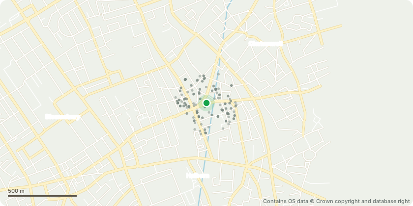
Mapped from public planning coordinates - Contains OS data © Crown copyright and database right
Proposal
Demolition of the existing building and the erection of a part-63 storey (284.68 AOD) and part-22 storey (112.30 AOD) building plus basement, including office use (Class E); a publicly accessible multi-purpose space at ground floor level, part Level 02 and part Level 03 for a flexible use including: retail, food and beverage, drinking establishment, learning, community use, exhibition and/or performance space (Sui Generis); a public viewing gallery (Sui Generis), public realm improvements, cycle parking, servicing, vehicle lifts, refuse facilities and other works associated with the development including access and highways works. (RECONSULTATION DUE TO DESIGN AMENDMENTS AND SUBMISSION OF ADDITIONAL INFORMATION) (The proposal would provide 126,854sq.m GEA of Class E offices, lobby, plant, BMU and ancillary space; and 4,702sq.m GEA of sui generis publicly accessible space including a public viewing gallery, level 02, level 03 and LG including viewing gallery lobby; total floorspace 131,556sq.m GEA; overall height 284.68 AOD.)
Key dates
- Received 25 Jul 2023
- Started 25 Jul 2023
- Decided 26 Jul 2023
Planning history / related applications
No related planning applications have been identified in the current public OGL dataset.
Inside plotEdge
Go beyond the public record
This page is the public OGL record. plotEdge adds the private intelligence layer for this site - open it in the app to unlock:
- Ownership & title Registered owner and title from HM Land Registry.
- Viability & build potential Site scoring and development upside.
- Constraints Flood risk, green belt, conservation areas and designations.
- Approval signal Planning risk and approval-likelihood analysis.
- Comparable applications Decisions on similar nearby sites, side by side.
- Status alerts Get notified the moment this application changes.
Source: public planning application data from Camden, reused under the Open Government Licence v3.0. View the council source record. Council documents and drawings are not republished on plotEdge.