Camden
Camden/2023/2246/P
St Pancras Hospital 4 St Pancras Way London Camden NW1 0PE
- Reference
- Camden/2023/2246/P
- Authority
- Camden
- Application type
- Variation or Removal of Condition(s)
- Address
- St Pancras Hospital 4 St Pancras Way London Camden NW1 0PE
- Postcode
- NW1 0PE
- Status
- Final Decision
- Received
- 13 Jun 2023
- Started
- 13 Jun 2023
- Decided
- 29 Nov 2023
- Source council
- Camden
- Council source record
- View public record
- Public data licence
- Open Government Licence v3.0
- Record updated
- 18 Jul 2026
- SEO index generated
- 24 Jul 2026
Location
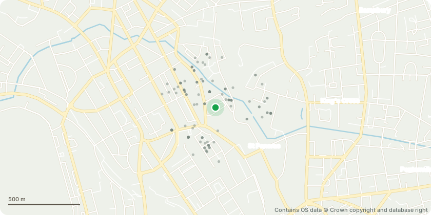
Mapped from public planning coordinates - Contains OS data © Crown copyright and database right
Proposal
Variation of condition 2 (approved drawings) of planning permission 2020/4825/P dated 05/08/22 (for the Partial redevelopment of the site, involving the demolition of seven existing buildings (Ash House, Bloomsbury Day Hospital, the Camley Centre, Jules Thorn Day Hospital, Kitchen and the Post Room & Former Mortuary) and construction of a part seven, part ten storey (plus roof plant) purpose-built eyecare, medical research and educational centre for Moorfields Eye Hospital, the UCL Institute of Ophthalmology and Moorfields Eye Charity. New building to comprise a mixture of clinical, research and education purposes, including eye care accident and emergency department, outpatients, operating theatres, research areas, education space, cafe and retail areas, admin space and plant space. Associated site relandscaping works including formation of patient drop off area to St Pancras way, new public realm and routes through the site, cycle parking and servicing ramp and cross over to Granary street) namely to include further basement depth and floorspace area, additional firefighting and escape stairs; consolidation of the wet systems; removal of oil storage tank and internal and external alterations to facilitate firefighting access. No changes to the building envelope above ground level are proposed.
Key dates
- Received 13 Jun 2023
- Started 13 Jun 2023
- Decided 29 Nov 2023
Planning history / related applications
No related planning applications have been identified in the current public OGL dataset.
Inside plotEdge
Go beyond the public record
This page is the public OGL record. plotEdge adds the private intelligence layer for this site - open it in the app to unlock:
- Ownership & title Registered owner and title from HM Land Registry.
- Viability & build potential Site scoring and development upside.
- Constraints Flood risk, green belt, conservation areas and designations.
- Approval signal Planning risk and approval-likelihood analysis.
- Comparable applications Decisions on similar nearby sites, side by side.
- Status alerts Get notified the moment this application changes.
Source: public planning application data from Camden, reused under the Open Government Licence v3.0. View the council source record. Council documents and drawings are not republished on plotEdge.