Camden
Camden/2023/0560/L
1 Waterhouse Square 138 Holborn London Camden EC1N 2ST
- Reference
- Camden/2023/0560/L
- Authority
- Camden
- Application type
- Listed Building Consent
- Address
- 1 Waterhouse Square 138 Holborn London Camden EC1N 2ST
- Postcode
- EC1N 2ST
- Status
- Final Decision
- Received
- 6 Mar 2023
- Started
- 6 Mar 2023
- Decided
- 4 May 2023
- Source council
- Camden
- Council source record
- View public record
- Public data licence
- Open Government Licence v3.0
- Record updated
- 18 Jul 2026
- SEO index generated
- 24 Jul 2026
Location
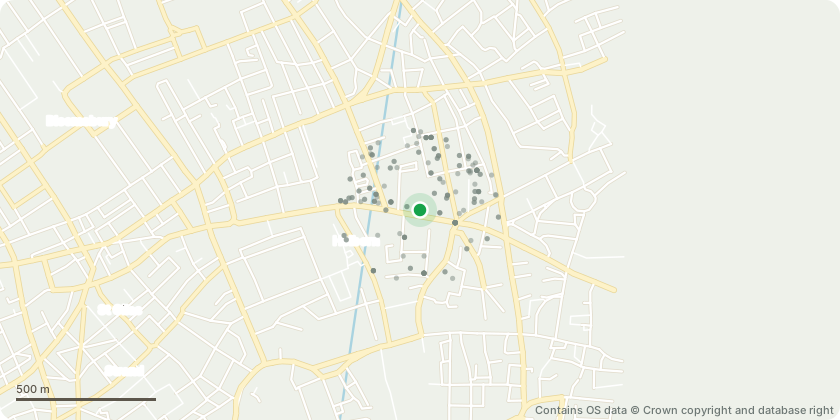
Mapped from public planning coordinates - Contains OS data © Crown copyright and database right
Proposal
The proposed works are to be undertaken to the external building fabric of the following locations: RHS of Holborn, LHS of Leather Lane, Courtyard A, Courtyard B/C archway and Courtyard C. Works are to include the following: Overflow Chutes - Core drill of c. 50mm diameter holes from the inside of the parapet gutter through to the external side of the wall. - Line the core drilled bore hole with lead and dress into the inside of the parapet. - The chute will protrude from the elevation c.50-60mm. The variance will depend on any obstructions below the protrusion point to ensure no water runs down the facade. Pigeon Wire - Drill small holes at intervals of c. 1.50m and install 25mm masonry rivets for the stainless steel posts to be inserted into and grouted into place. Enough room is to be left at either end of the runs for an anchor point, c. 115mm. - Install the anchor point via a small drill hole and again, a 25mm masonry rivet. - Install the bird wire as per the manufacturers guidance.
Key dates
- Received 6 Mar 2023
- Started 6 Mar 2023
- Decided 4 May 2023
Planning history / related applications
No related planning applications have been identified in the current public OGL dataset.
Inside plotEdge
Go beyond the public record
This page is the public OGL record. plotEdge adds the private intelligence layer for this site - open it in the app to unlock:
- Ownership & title Registered owner and title from HM Land Registry.
- Viability & build potential Site scoring and development upside.
- Constraints Flood risk, green belt, conservation areas and designations.
- Approval signal Planning risk and approval-likelihood analysis.
- Comparable applications Decisions on similar nearby sites, side by side.
- Status alerts Get notified the moment this application changes.
Source: public planning application data from Camden, reused under the Open Government Licence v3.0. View the council source record. Council documents and drawings are not republished on plotEdge.