Camden
Camden/2022/4269/P
Panther House 38 Mount Pleasant, The Brain Yard, 156 - 164 Grays Inn Road London WC1X 0AN
- Reference
- Camden/2022/4269/P
- Authority
- Camden
- Application type
- Approval of Details
- Address
- Panther House 38 Mount Pleasant, The Brain Yard, 156 - 164 Grays Inn Road London WC1X 0AN
- Postcode
- WC1X 0AN
- Status
- Final Decision
- Received
- 14 Nov 2022
- Started
- 14 Nov 2022
- Decided
- 30 Jan 2023
- Source council
- Camden
- Council source record
- View public record
- Public data licence
- Open Government Licence v3.0
- Record updated
- 18 Jul 2026
- SEO index generated
- 24 Jul 2026
Location
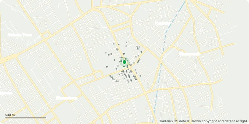
Mapped from public planning coordinates - Contains OS data © Crown copyright and database right
Proposal
Details pursuant to Condition 28 (Mechanical Ventilation) and 29 (NO2 System Intake Details) granted under planning reference 2015/6955/P dated 01/11/17 and 2021/1918/P dated 07/07/21 for redevelopment of the site following partial demolition of Panther House and Brain Yard buildings, partial demolition of 160-164 Gray's Inn Road and demolition of 156 Gray's Inn Road. Proposals would result in part 4 storey, part 7 storey (plus plant and basement) buildings at Panther House and Brain Yard for predominantly employment (B1) uses (including 1450sq.m of subsidised workspaces) and a new 7 storey (plus plant and basement) building at 156-164 Gray's Inn Road behind the retained facade of 160-164 Gray's Inn Road to provide flexible retail/restaurant (A1/3) uses at ground and basement levels with 15 self-contained residential units (C3) (including 3 Intermediate Rent flats) at the upper levels. Associated landscaping, plant and public realm works.
Key dates
- Received 14 Nov 2022
- Started 14 Nov 2022
- Decided 30 Jan 2023
Planning history / related applications
No related planning applications have been identified in the current public OGL dataset.
Inside plotEdge
Go beyond the public record
This page is the public OGL record. plotEdge adds the private intelligence layer for this site - open it in the app to unlock:
- Ownership & title Registered owner and title from HM Land Registry.
- Viability & build potential Site scoring and development upside.
- Constraints Flood risk, green belt, conservation areas and designations.
- Approval signal Planning risk and approval-likelihood analysis.
- Comparable applications Decisions on similar nearby sites, side by side.
- Status alerts Get notified the moment this application changes.
Source: public planning application data from Camden, reused under the Open Government Licence v3.0. View the council source record. Council documents and drawings are not republished on plotEdge.