Camden
Camden/2022/3782/P
317 Finchley Road London NW3 6EP
- Reference
- Camden/2022/3782/P
- Authority
- Camden
- Application type
- Variation or Removal of Condition(s)
- Address
- 317 Finchley Road London NW3 6EP
- Postcode
- NW3 6EP
- Status
- Registered
- Received
- 22 Mar 2023
- Started
- 22 Mar 2023
- Source council
- Camden
- Council source record
- View public record
- Public data licence
- Open Government Licence v3.0
- Record updated
- 18 Jul 2026
- SEO index generated
- 24 Jul 2026
Location
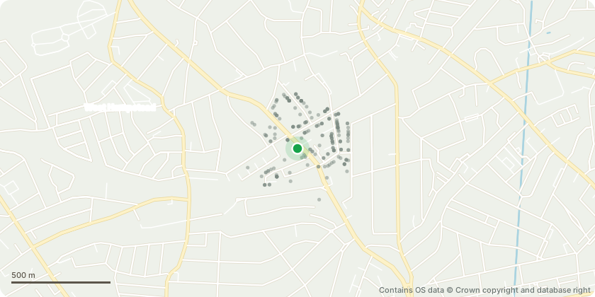
Mapped from public planning coordinates - Contains OS data © Crown copyright and database right
Proposal
Variation of condition 2 (approved plans) of planning permission 2016/2910/P dated 07/03/2017 for Erection of a part 7 part 10 storey (above basement and lower ground floor levels) building comprising 22 flats (Class C3) (4 x 1 bed, 17 x 2 bed, 1 x 3 bed) and a flexible commercial unit (Use Classes A1/A2/A3) to the ground and lower ground floors, associated public realm improvements including a new footpath to the north of the site, landscaping and associated works, following demolition of existing public house, retail unit and associated structures'; namely to allow retrospective extension of basement and lower ground floor levels, alterations to Billy Fury Way stair and windows, new alterations to elevations to the external walls and bracings behind superstructure, dimensions of stone columns and lintels, stair core glazing, changes to internal layout to meet fire safety regulations and provision of M4(3) compliant flats; increase in height to the lift and stair core, alterations to unit 22 roof garden stair, alterations to ground floor level fronting Finchley Road, alterations to residential area schedule, and alterations to material of external riser (amended description).
Key dates
- Received 22 Mar 2023
- Started 22 Mar 2023
Planning history / related applications
No related planning applications have been identified in the current public OGL dataset.
Inside plotEdge
Go beyond the public record
This page is the public OGL record. plotEdge adds the private intelligence layer for this site - open it in the app to unlock:
- Ownership & title Registered owner and title from HM Land Registry.
- Viability & build potential Site scoring and development upside.
- Constraints Flood risk, green belt, conservation areas and designations.
- Approval signal Planning risk and approval-likelihood analysis.
- Comparable applications Decisions on similar nearby sites, side by side.
- Status alerts Get notified the moment this application changes.
Source: public planning application data from Camden, reused under the Open Government Licence v3.0. View the council source record. Council documents and drawings are not republished on plotEdge.