Camden
Camden/2022/3378/P
Highgate New Town Community Centre 25 Bertram Street London N19 5DQ
- Reference
- Camden/2022/3378/P
- Authority
- Camden
- Application type
- Variation or Removal of Condition(s)
- Address
- Highgate New Town Community Centre 25 Bertram Street London N19 5DQ
- Postcode
- N19 5DQ
- Status
- Final Decision
- Received
- 25 Aug 2022
- Started
- 25 Aug 2022
- Decided
- 10 Mar 2023
- Source council
- Camden
- Council source record
- View public record
- Public data licence
- Open Government Licence v3.0
- Record updated
- 18 Jul 2026
- SEO index generated
- 24 Jul 2026
Location
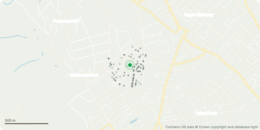
Mapped from public planning coordinates - Contains OS data © Crown copyright and database right
Proposal
Variation of Condition 2 (Approved Plans) of development granted under reference 2016/6088/P dated 30/06/17 as varied by reference 2018/5774/P dated 29/03/19 for redevelopment of the existing Highgate Newtown Community Centre and Fresh Youth Academy and the change of use of the People's Mission Gospel Hall to provide replacement community facilities (Use Class D1) and 31 residential units (Use Class C3) with associated public open space, landscaping, cycle storage, plant and disabled parking namely following: Amendments to Block A: 1) Conversion of selected windows to sliding doors at the eastern and western elevation to the 4th floor penthouse units of Block A 2) Provision of a guardrail on top of the parapet wall to these external spaces to ensure they meet relevant British safety standards for external amenity spaces. 3) Allocation of these space as 'private amenity' as Condition 6 of the planning permission currently restricts access. Amendments to Block B: Conversion of one first floor window on eastern elevation to maintenance door to facilitate maintenance access only to roof, and conversion of one double hung first floor window on the eastern elevation to a larger single opening window.
Key dates
- Received 25 Aug 2022
- Started 25 Aug 2022
- Decided 10 Mar 2023
Planning history / related applications
No related planning applications have been identified in the current public OGL dataset.
Inside plotEdge
Go beyond the public record
This page is the public OGL record. plotEdge adds the private intelligence layer for this site - open it in the app to unlock:
- Ownership & title Registered owner and title from HM Land Registry.
- Viability & build potential Site scoring and development upside.
- Constraints Flood risk, green belt, conservation areas and designations.
- Approval signal Planning risk and approval-likelihood analysis.
- Comparable applications Decisions on similar nearby sites, side by side.
- Status alerts Get notified the moment this application changes.
Source: public planning application data from Camden, reused under the Open Government Licence v3.0. View the council source record. Council documents and drawings are not republished on plotEdge.