Camden
Camden/2021/3225/P
Murphy's Yard Land to the south of Gordon House Road bounded by railway lines to the east, west and south and accessed from Gordon House Road, Sanderson Close and Greenwood Place London NW5
- Reference
- Camden/2021/3225/P
- Authority
- Camden
- Application type
- Outline Planning Permission
- Address
- Murphy's Yard Land to the south of Gordon House Road bounded by railway lines to the east, west and south and accessed from Gordon House Road, Sanderson Close and Greenwood Place London NW5
- Status
- Withdrawn
- Received
- 4 Jan 2022
- Started
- 4 Jan 2022
- Decided
- 19 May 2022
- Source council
- Camden
- Council source record
- View public record
- Public data licence
- Open Government Licence v3.0
- Record updated
- 18 Jul 2026
- SEO index generated
- 24 Jul 2026
Location
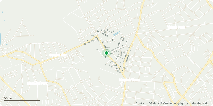
Mapped from public planning coordinates - Contains OS data © Crown copyright and database right
Proposal
Outline planning permission with all matters reserved for the demolition of existing buildings and structures and redevelopment to be carried out in phases (with each phase being an independent act of development) comprising 18 development plots (for the purposes of consultation: including buildings with a maximum height of 113.45m AOD) for the following mix of uses: [750-825] residential units (Use Class C3), [up to 8,000sqm GEA] residential institution floorspace (Use Class C2), [a minimum of 40,461sqm GEA] industrial floorspace within Use Classes E(g)(iii), B2 and B8 and [up to 8,150sqm] general industrial and/or storage floorspace [Use Class B2 and/or B8], commercial floorspace (Class E) including [up to 36,043sqm GEA] light industrial floorspace (Class E(g)(iii)), [up to 34,500sqm GEA] office floorspace, [up to 36,000sqm GEA] research and development floorspace (Class E(g)(ii)), and [up to 16,000sqm] healthcare floorspace (Class E(e)), [1,300-3,650sqm GEA] flexible commercial and sui generis floorspace (Use Class E and/or Sui Generis Use), [300-1,300sqm GEA] community floorspace (F1 and/or F2), [up to 1,500sqm] flexible mixed-use space (Class Sui Generis), and cycle and vehicle parking, refuse and recycling storage, plant, highway and access improvements, amenity space, landscape and public realm improvements including new pedestrian and cycle routes, and all associated works [for the purposes of consultation]. THIS APPLICATION IS ACCOMPANIED BY AN ENVIRONMENTAL STATEMENT
Key dates
- Received 4 Jan 2022
- Started 4 Jan 2022
- Decided 19 May 2022
Planning history / related applications
No related planning applications have been identified in the current public OGL dataset.
Inside plotEdge
Go beyond the public record
This page is the public OGL record. plotEdge adds the private intelligence layer for this site - open it in the app to unlock:
- Ownership & title Registered owner and title from HM Land Registry.
- Viability & build potential Site scoring and development upside.
- Constraints Flood risk, green belt, conservation areas and designations.
- Approval signal Planning risk and approval-likelihood analysis.
- Comparable applications Decisions on similar nearby sites, side by side.
- Status alerts Get notified the moment this application changes.
Source: public planning application data from Camden, reused under the Open Government Licence v3.0. View the council source record. Council documents and drawings are not republished on plotEdge.