Camden
Camden/2021/1809/P
Eastman Dental Hospital Site and Buildings (including the Former Royal Free Hospital the Eastman Dental Clinic and the Levy Wing) located at 256 Gray's Inn Road WC1X 8LD and Frances Gardner House, Wren Street, Gray's Inn Road WC1X 0HD
- Reference
- Camden/2021/1809/P
- Authority
- Camden
- Application type
- Variation or Removal of Condition(s)
- Address
- Eastman Dental Hospital Site and Buildings (including the Former Royal Free Hospital the Eastman Dental Clinic and the Levy Wing) located at 256 Gray's Inn Road WC1X 8LD and Frances Gardner House, Wren Street, Gray's Inn Road WC1X 0HD
- Postcode
- WC1X 8LD
- Status
- Final Decision
- Received
- 24 Oct 2022
- Started
- 24 Oct 2022
- Decided
- 5 May 2023
- Source council
- Camden
- Council source record
- View public record
- Public data licence
- Open Government Licence v3.0
- Record updated
- 18 Jul 2026
- SEO index generated
- 24 Jul 2026
Location
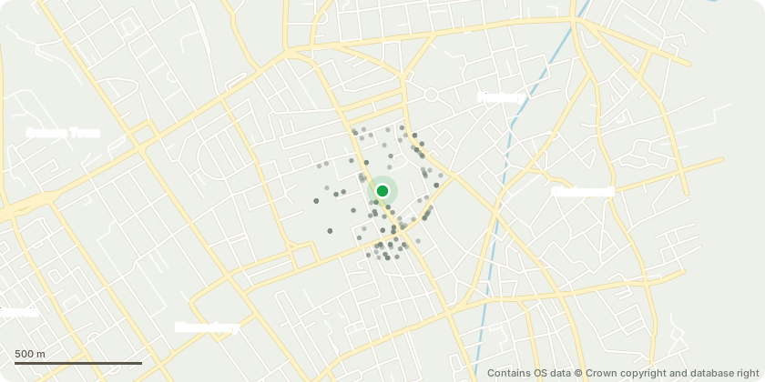
Mapped from public planning coordinates - Contains OS data © Crown copyright and database right
Proposal
Variation of condition 2 (Approved Plans) of planning permission reference 2019/2879/P dated 10/03/2020 (later varied by planning permission 2020/5791/P dated 21/06/2021) (for: Partial redevelopment of the site to create medical research, outpatient facility and academic floorspace with changes to include amendments to Plot 1 (former Royal Free Hospital Building) to amend the lecture theatre east facade; east facade updates (locations of doors); north west corner facade (change of detailing); facade level changes; firefighting lift; Alexandra Wing demolition and construction methodology). New changes include lowering height of link between Alexandra building and Plot 1, relocation of vent, new low level vent, altering the flue number and design, additional demolition and construction details, and changes to flues on Plot 1.
Key dates
- Received 24 Oct 2022
- Started 24 Oct 2022
- Decided 5 May 2023
Planning history / related applications
No related planning applications have been identified in the current public OGL dataset.
Inside plotEdge
Go beyond the public record
This page is the public OGL record. plotEdge adds the private intelligence layer for this site - open it in the app to unlock:
- Ownership & title Registered owner and title from HM Land Registry.
- Viability & build potential Site scoring and development upside.
- Constraints Flood risk, green belt, conservation areas and designations.
- Approval signal Planning risk and approval-likelihood analysis.
- Comparable applications Decisions on similar nearby sites, side by side.
- Status alerts Get notified the moment this application changes.
Source: public planning application data from Camden, reused under the Open Government Licence v3.0. View the council source record. Council documents and drawings are not republished on plotEdge.