Cambridge
Cambridge/26/0679/TTCA
28 York Terrace Cambridge Cambridgeshire CB1 2PR
- Reference
- Cambridge/26/0679/TTCA
- Authority
- Cambridge
- Application type
- TTCA
- Address
- 28 York Terrace Cambridge Cambridgeshire CB1 2PR
- Postcode
- CB1 2PR
- Status
- Awaiting decision
- Received
- 13 Jul 2026
- Started
- 13 Jul 2026
- Source council
- Cambridge
- Council source record
- View public record
- Public data licence
- Open Government Licence v3.0
- Record updated
- 18 Jul 2026
- SEO index generated
- 24 Jul 2026
Location
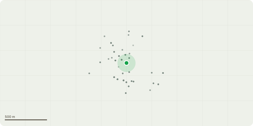
Approximate location
Proposal
T1: Robinia - Overhanging branch to be cut off where it meets the trunk. Robinia tree is leaning and overhanging garden. Branches have been cut off other side causing tree to be unbalanced. Branch is also shading garden preventing grass from growing properly underneath. Birds also perch on branches resulting in bird droppings preventing residents from enjoying their garden. As shown in photographs provided, cutting off overhanging branch will give tree a more balanced shape with less risk of one side being too heavy and eventually falling causing danger to people or property.T2: Eucalyptus - Overhanging branches to be cut back by 2 metres. Branches have been cut on the other side of tree making tree unbalanced. Tree trunk is also leaning heavily to one side. Cutting back overhanging branches will provide balance and overall stability and health benefits for the tree. Tree also has several dead branches that need to be cut off. Cutting of overhang will reduce risk of tree falling.
Key dates
- Received 13 Jul 2026
- Started 13 Jul 2026
Planning history / related applications
No related planning applications have been identified in the current public OGL dataset.
Inside plotEdge
Go beyond the public record
This page is the public OGL record. plotEdge adds the private intelligence layer for this site - open it in the app to unlock:
- Ownership & title Registered owner and title from HM Land Registry.
- Viability & build potential Site scoring and development upside.
- Constraints Flood risk, green belt, conservation areas and designations.
- Approval signal Planning risk and approval-likelihood analysis.
- Comparable applications Decisions on similar nearby sites, side by side.
- Status alerts Get notified the moment this application changes.
Source: public planning application data from Cambridge, reused under the Open Government Licence v3.0. View the council source record. Council documents and drawings are not republished on plotEdge.