Cambridge
Cambridge/26/0358/TTCA
3 Ely Road Milton Cambridgeshire CB24 6DD
- Reference
- Cambridge/26/0358/TTCA
- Authority
- Cambridge
- Application type
- TTCA
- Address
- 3 Ely Road Milton Cambridgeshire CB24 6DD
- Postcode
- CB24 6DD
- Status
- Decided
- Decision
- Split decision
- Received
- 24 Mar 2026
- Validated
- 24 Mar 2026
- Started
- 24 Mar 2026
- Decided
- 1 May 2026
- Source council
- Cambridge
- Council source record
- View public record
- Public data licence
- Open Government Licence v3.0
- Record updated
- 18 Jul 2026
- SEO index generated
- 24 Jul 2026
Location
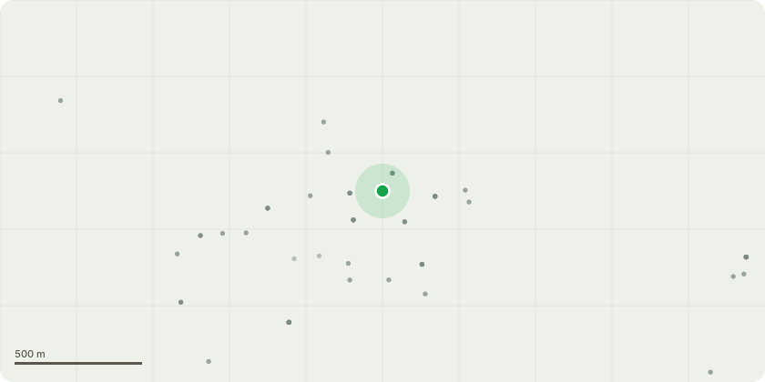
Approximate location
Proposal
G9 - Beech trees - Fell, which is 5 of the 12 trees in the row Reason - they are heavily leaning and overcrowded in the row of 12 in order to help the growth of remaining trees.T24 - Himalayan Birch - Crown Reduce by 1 metre to remove contact being made with the lamp post and balance tree.T21 - Deodar Cedar - Fell - Tree to be removed as it has been badly pruned in the past and is growing too close to the building.T22 - Horse Chestnut - Fell - Remove tree as surface roots are exposed across walk way and lifting manhole on path and previous pruning has caused significant damage to stem.G5 - Remove small self-set hazels and larger hazels to reduce depth of the boundary that is currently about 12 metres to make a more suitable boundary hedge depth and make current communal area bigger and less over grown remove all self-set plants in and around the staircase of this group.
Key dates
- Received 24 Mar 2026
- Validated 24 Mar 2026
- Started 24 Mar 2026
- Decided 1 May 2026
Planning history / related applications
No related planning applications have been identified in the current public OGL dataset.
Inside plotEdge
Go beyond the public record
This page is the public OGL record. plotEdge adds the private intelligence layer for this site - open it in the app to unlock:
- Ownership & title Registered owner and title from HM Land Registry.
- Viability & build potential Site scoring and development upside.
- Constraints Flood risk, green belt, conservation areas and designations.
- Approval signal Planning risk and approval-likelihood analysis.
- Comparable applications Decisions on similar nearby sites, side by side.
- Status alerts Get notified the moment this application changes.
Source: public planning application data from Cambridge, reused under the Open Government Licence v3.0. View the council source record. Council documents and drawings are not republished on plotEdge.