Cambridge
Cambridge/26/00484/S19LB
Sidgwick Site, Faculty Of History West Road Cambridge Cambridgeshire CB3 9EF
- Reference
- Cambridge/26/00484/S19LB
- Authority
- Cambridge
- Application type
- SLB
- Address
- Sidgwick Site, Faculty Of History West Road Cambridge Cambridgeshire CB3 9EF
- Postcode
- CB3 9EF
- Status
- Decided
- Decision
- Granted Permission
- Received
- 6 Feb 2026
- Validated
- 6 Feb 2026
- Started
- 6 Feb 2026
- Decided
- 6 May 2026
- Source council
- Cambridge
- Council source record
- View public record
- Public data licence
- Open Government Licence v3.0
- Record updated
- 18 Jul 2026
- SEO index generated
- 24 Jul 2026
Location
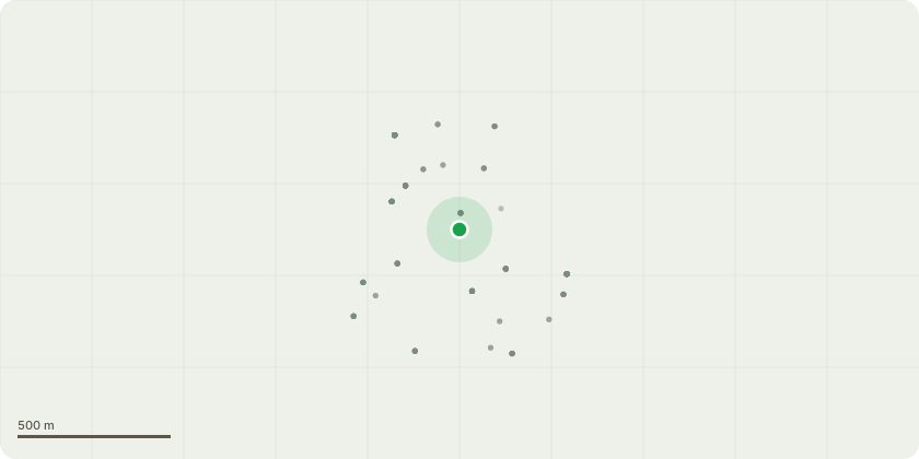
Approximate location
Proposal
S19LB to vary condition 2 (approved drawings) of ref: 25/00639/LBC (Alteration, refurbishment and extension to the Stirling Building, including 2no. pavilion blocks to the north and south and additional access arrangements. Alterations to the façade including the replacement of the façade with new glazing and aluminium, and refurbished brick and tiling. Alterations to the internal layout including platform lift to reading room floor allowing link through the approved glass partition, changes to the entrance and circulation areas on the ground floor, and the reconfiguration of cellular spaces within the L-Block on the upper floors) to include: Changes externally to remove podium ramp and replace with platform lift, changes to balustrades and precast pavers and copings along with fixed glass louvres in lieu of actuated louvres and remove skylights within the new build elements.Internally changes are to replace, rather than repair the reading room roof steelwork, make minor modifications to the reading room roof fans, provide enhancements to doors and toilets for accessibility and alter glazing, change the MVHR system detailing, introduce carpet in cellular spaces, provide platform lift to lower ground floor library and provide the reading room inner skin with glass as originally built.
Key dates
- Received 6 Feb 2026
- Validated 6 Feb 2026
- Started 6 Feb 2026
- Decided 6 May 2026
Planning history / related applications
No related planning applications have been identified in the current public OGL dataset.
Inside plotEdge
Go beyond the public record
This page is the public OGL record. plotEdge adds the private intelligence layer for this site - open it in the app to unlock:
- Ownership & title Registered owner and title from HM Land Registry.
- Viability & build potential Site scoring and development upside.
- Constraints Flood risk, green belt, conservation areas and designations.
- Approval signal Planning risk and approval-likelihood analysis.
- Comparable applications Decisions on similar nearby sites, side by side.
- Status alerts Get notified the moment this application changes.
Source: public planning application data from Cambridge, reused under the Open Government Licence v3.0. View the council source record. Council documents and drawings are not republished on plotEdge.