Cambridge
Cambridge/25/1112/TTPO
5 Broad Lane Haslingfield Cambridgeshire CB23 1JF
- Reference
- Cambridge/25/1112/TTPO
- Authority
- Cambridge
- Application type
- TTPO
- Address
- 5 Broad Lane Haslingfield Cambridgeshire CB23 1JF
- Postcode
- CB23 1JF
- Status
- Decided
- Decision
- Granted Permission
- Received
- 15 Oct 2025
- Validated
- 15 Oct 2025
- Started
- 15 Oct 2025
- Decided
- 9 Dec 2025
- Source council
- Cambridge
- Council source record
- View public record
- Public data licence
- Open Government Licence v3.0
- Record updated
- 18 Jul 2026
- SEO index generated
- 24 Jul 2026
Location
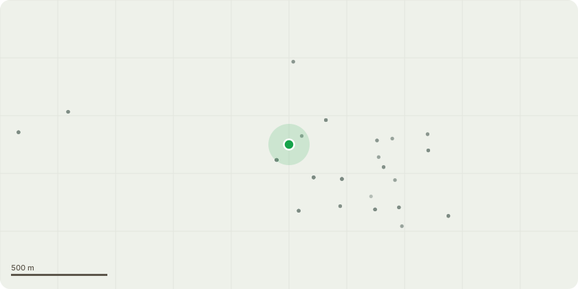
Approximate location
Proposal
T5: Yew 15m 780mm on left hand boundary approximately 20M from the entrance gate and appx. 0.8M from boundary wall. Ivy covered, wounds on south east side, probably caused by fire, deadwood, sparse crown, hanger in crown - Remove Ivy, remove major dead wood and pegs, crown lift to 4.5M over road, remove hangerT7: Holm Oak 16m 330mm Part of a group of 3 trees which are 2.5M from unused gate, 35 degree lean over wall which at closest point is 0.7M away, vast majority of crown hangs over road at first bend, low crown, dead wood - Remove major dead wood, crown lift to 4.5M, crown thin by 15% to reduce weight T9: Beech within group of 3 trees 16m 340mm closest part of tree to wall is 350mm, lean of 35 degrees over wall and road, virtually entire crown overhanging road and gateway, dead ivy - Remove dead ivy and major deadwood, crown lift to 4.5M over road, crown thin by 20% to reduce weight T11: Beech 22m 690mm upper crown sparse and dying back, indicative of issue with root system, some staining on lower stem but no evidence of fruiting bodies or decay, branches overhanging large shed in neighbours garden - Remove major dead wood, prune by 3M to clear overhanging branch to boundary line
Key dates
- Received 15 Oct 2025
- Validated 15 Oct 2025
- Started 15 Oct 2025
- Decided 9 Dec 2025
Planning history / related applications
No related planning applications have been identified in the current public OGL dataset.
Inside plotEdge
Go beyond the public record
This page is the public OGL record. plotEdge adds the private intelligence layer for this site - open it in the app to unlock:
- Ownership & title Registered owner and title from HM Land Registry.
- Viability & build potential Site scoring and development upside.
- Constraints Flood risk, green belt, conservation areas and designations.
- Approval signal Planning risk and approval-likelihood analysis.
- Comparable applications Decisions on similar nearby sites, side by side.
- Status alerts Get notified the moment this application changes.
Source: public planning application data from Cambridge, reused under the Open Government Licence v3.0. View the council source record. Council documents and drawings are not republished on plotEdge.