Cambridge
Cambridge/25/0985/TTPO
Barnsbury Farm Coxs Drove Fulbourn Cambridgeshire CB21 5HE
- Reference
- Cambridge/25/0985/TTPO
- Authority
- Cambridge
- Application type
- TTPO
- Address
- Barnsbury Farm Coxs Drove Fulbourn Cambridgeshire CB21 5HE
- Postcode
- CB21 5HE
- Status
- Decided
- Decision
- Granted Permission
- Received
- 16 Sept 2025
- Validated
- 16 Sept 2025
- Started
- 16 Sept 2025
- Decided
- 10 Nov 2025
- Source council
- Cambridge
- Council source record
- View public record
- Public data licence
- Open Government Licence v3.0
- Record updated
- 18 Jul 2026
- SEO index generated
- 24 Jul 2026
Location
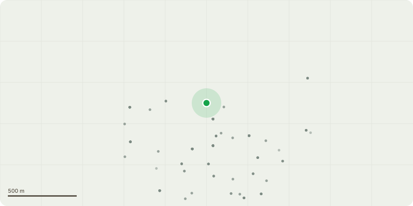
Approximate location
Proposal
T011: Horse Chestnut - Reduce crown by up to 4 metres in height and 2.5m laterally to shape crown. Since the Ivy has been removed by the client, this has revealed additional defects on the main stem and within the crown. The additional defects observed are cavities on the main exuding slime flux, historic tear out cavities and wounds in the crown leaders. It is recommended to undertake this reduction to establish a more compact and balanced crown so the tree can be safely retained in the future. T019: Lime - Pollard at approximately 6m above ground level. Tree has become very decayed at base and is compromised structurally. It is proposed to pollard the tree to a height of 6m so it can be retained within the landscape at a safe height.T022: Horse Chestnut - Reduce lower eastern crown aspect by up to 3 metres. Tree has recently been exposed on the south west side due to the loss of an adjacent tree. The eastern crown aspect is now over extended for the situation and the reduction will help to rebalance the crown and prevent future branch failures.
Key dates
- Received 16 Sept 2025
- Validated 16 Sept 2025
- Started 16 Sept 2025
- Decided 10 Nov 2025
Planning history / related applications
No related planning applications have been identified in the current public OGL dataset.
Inside plotEdge
Go beyond the public record
This page is the public OGL record. plotEdge adds the private intelligence layer for this site - open it in the app to unlock:
- Ownership & title Registered owner and title from HM Land Registry.
- Viability & build potential Site scoring and development upside.
- Constraints Flood risk, green belt, conservation areas and designations.
- Approval signal Planning risk and approval-likelihood analysis.
- Comparable applications Decisions on similar nearby sites, side by side.
- Status alerts Get notified the moment this application changes.
Source: public planning application data from Cambridge, reused under the Open Government Licence v3.0. View the council source record. Council documents and drawings are not republished on plotEdge.