Cambridge
Cambridge/25/0688/TTPO
Leigh Cottage 6 Church Way Haslingfield Cambridgeshire CB23 1JR
- Reference
- Cambridge/25/0688/TTPO
- Authority
- Cambridge
- Application type
- TTPO
- Address
- Leigh Cottage 6 Church Way Haslingfield Cambridgeshire CB23 1JR
- Postcode
- CB23 1JR
- Status
- Withdrawn
- Decision
- Withdrawn
- Received
- 10 Jul 2025
- Validated
- 10 Jul 2025
- Started
- 10 Jul 2025
- Decided
- 18 Sept 2025
- Source council
- Cambridge
- Council source record
- View public record
- Public data licence
- Open Government Licence v3.0
- Record updated
- 18 Jul 2026
- SEO index generated
- 24 Jul 2026
Location
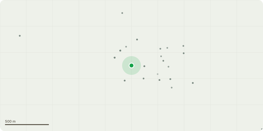
Approximate location
Proposal
T1 - Ash - Remove the branches and reduce the tree to a 4 metre stump which would then be used for a tree sculpture.Reason - - The trunk of this ash tree is approximately 4 metres from the house and its canopy is 1 metre from the thatched roof. It is on the edge of a frequently used public lane giving vehicle and pedestrian access to All Saints' Church and the upper end of the village. It is also used daily by children to go to the primary school. We are also concerned about the probability of ash die-back disease which is in the area. - Tree shaking more since owner moved in in 2023 and small branches falling off. - The roots directly at the bottom of the tree have been badly damaged by cars on all sides. - Squirrels jump easily onto client's newly rethatched roof and pull straw out of the netted roof thus damaging the new thatch.
Key dates
- Received 10 Jul 2025
- Validated 10 Jul 2025
- Started 10 Jul 2025
- Decided 18 Sept 2025
Planning history / related applications
No related planning applications have been identified in the current public OGL dataset.
Inside plotEdge
Go beyond the public record
This page is the public OGL record. plotEdge adds the private intelligence layer for this site - open it in the app to unlock:
- Ownership & title Registered owner and title from HM Land Registry.
- Viability & build potential Site scoring and development upside.
- Constraints Flood risk, green belt, conservation areas and designations.
- Approval signal Planning risk and approval-likelihood analysis.
- Comparable applications Decisions on similar nearby sites, side by side.
- Status alerts Get notified the moment this application changes.
Source: public planning application data from Cambridge, reused under the Open Government Licence v3.0. View the council source record. Council documents and drawings are not republished on plotEdge.