Cambridge
Cambridge/25/0628/TTPO
17 Horseheath Road Linton Cambridgeshire CB21 4LU
- Reference
- Cambridge/25/0628/TTPO
- Authority
- Cambridge
- Application type
- TTPO
- Address
- 17 Horseheath Road Linton Cambridgeshire CB21 4LU
- Postcode
- CB21 4LU
- Status
- Decided
- Decision
- Refused Permission
- Received
- 4 Jul 2025
- Validated
- 4 Jul 2025
- Started
- 4 Jul 2025
- Decided
- 22 Aug 2025
- Source council
- Cambridge
- Council source record
- View public record
- Public data licence
- Open Government Licence v3.0
- Record updated
- 18 Jul 2026
- SEO index generated
- 24 Jul 2026
Location
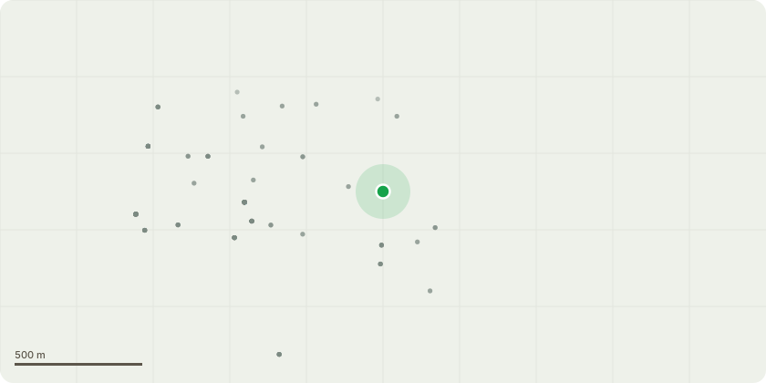
Approximate location
Proposal
Beech tree -The tree is in the corner of our garden and over hangs two other gardens. In one of those gardens the tree is hitting the roof of their large shed and low-level extension. The tree is leaning towards both of these buildings and would be good if that could be checked from a safety aspect.The tree needs to be reduced by at least 3 to 4 meters on every branch and all dead branches to be removed to improve tree health. Visually there appears to be a number of dead areas within the tree branches which could potentially break and cause damage. We propose pruning the tree to a more manageable size.Reason - The tree is growing out of control and is to big to safely be in a residential area. It needs to be trimmed to be maintained and avoid large branches damaging property and people/animals.
Key dates
- Received 4 Jul 2025
- Validated 4 Jul 2025
- Started 4 Jul 2025
- Decided 22 Aug 2025
Planning history / related applications
No related planning applications have been identified in the current public OGL dataset.
Inside plotEdge
Go beyond the public record
This page is the public OGL record. plotEdge adds the private intelligence layer for this site - open it in the app to unlock:
- Ownership & title Registered owner and title from HM Land Registry.
- Viability & build potential Site scoring and development upside.
- Constraints Flood risk, green belt, conservation areas and designations.
- Approval signal Planning risk and approval-likelihood analysis.
- Comparable applications Decisions on similar nearby sites, side by side.
- Status alerts Get notified the moment this application changes.
Source: public planning application data from Cambridge, reused under the Open Government Licence v3.0. View the council source record. Council documents and drawings are not republished on plotEdge.