Cambridge
Cambridge/25/0455/TTPO
Pinehurst South Pinehurst Cambridge Cambridgeshire CB3 9AP
- Reference
- Cambridge/25/0455/TTPO
- Authority
- Cambridge
- Application type
- TTPO
- Address
- Pinehurst South Pinehurst Cambridge Cambridgeshire CB3 9AP
- Postcode
- CB3 9AP
- Status
- Decided
- Decision
- Split decision
- Received
- 9 May 2025
- Validated
- 9 May 2025
- Started
- 9 May 2025
- Decided
- 1 Jul 2025
- Source council
- Cambridge
- Council source record
- View public record
- Public data licence
- Open Government Licence v3.0
- Record updated
- 18 Jul 2026
- SEO index generated
- 24 Jul 2026
Location
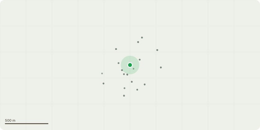
Approximate location
Proposal
G5T8. Pinus nigra (black/Austrian pine). Sympathetically reduce height by 1.5m to improve light.T26. Cercis siliquastrum (judas tree). Reduce overall crown by 1m to improve light.G5T11. Taxus baccata (English yew). Reduce height of tree to 3.5m from ground level and all side laterals to 2m from main stem to create a cuboid shape, which can be trimmed as a formal topiary piece, retention of this lopsided yew in its present state will suppress the growth of the new birch planting and crowd the area adjacent to the buildings. Also, the neighbouring property (who planted the laurel screen) intend to allow the laurels to grow naturally large as a planned screen: this will inevitably cause the birch plantation to be sandwiched/squashed between the yew (T11) and the laurels if retained, causing suppression from both sides and consequently hindering the development of the birch plantation.
Key dates
- Received 9 May 2025
- Validated 9 May 2025
- Started 9 May 2025
- Decided 1 Jul 2025
Planning history / related applications
No related planning applications have been identified in the current public OGL dataset.
Inside plotEdge
Go beyond the public record
This page is the public OGL record. plotEdge adds the private intelligence layer for this site - open it in the app to unlock:
- Ownership & title Registered owner and title from HM Land Registry.
- Viability & build potential Site scoring and development upside.
- Constraints Flood risk, green belt, conservation areas and designations.
- Approval signal Planning risk and approval-likelihood analysis.
- Comparable applications Decisions on similar nearby sites, side by side.
- Status alerts Get notified the moment this application changes.
Source: public planning application data from Cambridge, reused under the Open Government Licence v3.0. View the council source record. Council documents and drawings are not republished on plotEdge.