Cambridge
Cambridge/25/0435/TTCA
98 Riverside Cambridge Cambridgeshire CB5 8HN
- Reference
- Cambridge/25/0435/TTCA
- Authority
- Cambridge
- Application type
- TTCA
- Address
- 98 Riverside Cambridge Cambridgeshire CB5 8HN
- Postcode
- CB5 8HN
- Status
- Decided
- Decision
- Have No Objection To
- Received
- 2 May 2025
- Validated
- 2 May 2025
- Started
- 2 May 2025
- Decided
- 1 Jul 2025
- Source council
- Cambridge
- Council source record
- View public record
- Public data licence
- Open Government Licence v3.0
- Record updated
- 18 Jul 2026
- SEO index generated
- 24 Jul 2026
Location
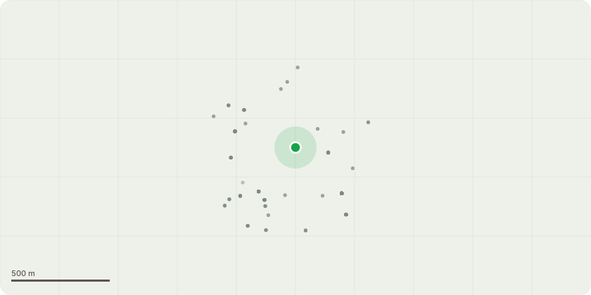
Approximate location
Proposal
T5 - Sycamore: A 150mm wide, up to 600mm deep, approximately 5m-long trench (only within the RPA of T5 on the boundary line) shall be sensitively excavated using hand tools only, under the supervision (watching brief) of an experienced and competent arboriculturist, to determine whether roots exceeding 25mm in diameter extend beyond the property boundary.Roots over 25mm from either T5 or other neighbouring tree/shrubs, of which remain exposed during the excavation will be protected using damp hessian material, wrapped around the roots with water applied throughout the process to avoid desiccation. The trench will be backfilled the same day using the spoil.T11 & T12 - Willow, including ALL other overhanging vegetation from along the boundary of 98 Riverside and Stourbridge Common to be pruned back to, but not exceeding the boundary line, as per common law. Pruning wounds will be made to appropriate branch collars where possible, or suitable growth points, to abate excessive dieback of branches. All arisings are offered to the owner, however can be removed from site if permission is granted within the decision notice.
Key dates
- Received 2 May 2025
- Validated 2 May 2025
- Started 2 May 2025
- Decided 1 Jul 2025
Planning history / related applications
No related planning applications have been identified in the current public OGL dataset.
Inside plotEdge
Go beyond the public record
This page is the public OGL record. plotEdge adds the private intelligence layer for this site - open it in the app to unlock:
- Ownership & title Registered owner and title from HM Land Registry.
- Viability & build potential Site scoring and development upside.
- Constraints Flood risk, green belt, conservation areas and designations.
- Approval signal Planning risk and approval-likelihood analysis.
- Comparable applications Decisions on similar nearby sites, side by side.
- Status alerts Get notified the moment this application changes.
Source: public planning application data from Cambridge, reused under the Open Government Licence v3.0. View the council source record. Council documents and drawings are not republished on plotEdge.