Cambridge
Cambridge/25/0340/TTCA
Robinson College Grange Road Cambridge Cambridgeshire CB3 9AN
- Reference
- Cambridge/25/0340/TTCA
- Authority
- Cambridge
- Application type
- TTCA
- Address
- Robinson College Grange Road Cambridge Cambridgeshire CB3 9AN
- Postcode
- CB3 9AN
- Status
- Decided
- Decision
- Have No Objection To
- Received
- 8 Apr 2025
- Validated
- 8 Apr 2025
- Started
- 8 Apr 2025
- Decided
- 27 May 2025
- Source council
- Cambridge
- Council source record
- View public record
- Public data licence
- Open Government Licence v3.0
- Record updated
- 18 Jul 2026
- SEO index generated
- 24 Jul 2026
Location
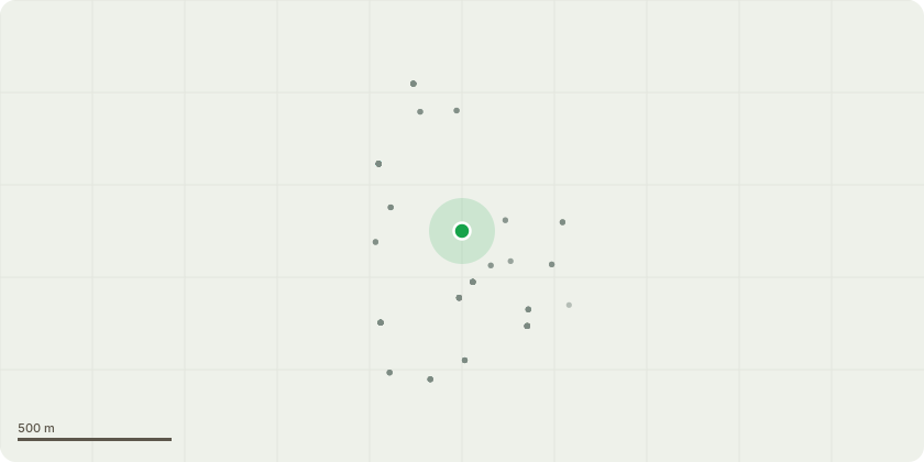
Approximate location
Proposal
T519c - Acer spp - Self-set - RemoveT506 - Aesculus hippocastanum - RemoveT536 - Salix Caprea - Remove/pollard Near fountain.T624 - Ilex - Remove, Stump grind(Dead) at Thorney Creek DriveT305 & T306 - Betula Pubescens - Remove and stump grind (Low amenity value) at 1 Sylvester Road.T678 - Crataegus monogyna - Remove.T750/T751/T752 - Chamaecyparis lawsonia - Remove. Stump grindT759 Frangula alnus - RemoveT756 Syringa - Remove and stump grindT168 - Acer capillipes - Remove deadwood (Opposite shady border)T169 - Acer grosser hersii - Remove deadwood (Opposite shady border)T566 - Taxus baccata dovastoiana Aurea - Remove young Norway maple and elder. Reduce yew height down by 1.5mnear Croquet lawn.T658-T659 - Pittosporum - Crown lift 2.4m over Public footpath, 5.4 over road and Remove stunted growth.T660 - Acer Davidii - Crown lift 2.4m over Public footpath, 5.4 over road and Remove stunted growth.T662 - Prunus - Crown lift 2.4m over Public footpath, 5.4 over road and Remove stunted growth.T663 - Quercus Ilex - Crown lift 2.4m over Public footpath, 5.4 over road and Remove stunted growth.
Key dates
- Received 8 Apr 2025
- Validated 8 Apr 2025
- Started 8 Apr 2025
- Decided 27 May 2025
Planning history / related applications
No related planning applications have been identified in the current public OGL dataset.
Inside plotEdge
Go beyond the public record
This page is the public OGL record. plotEdge adds the private intelligence layer for this site - open it in the app to unlock:
- Ownership & title Registered owner and title from HM Land Registry.
- Viability & build potential Site scoring and development upside.
- Constraints Flood risk, green belt, conservation areas and designations.
- Approval signal Planning risk and approval-likelihood analysis.
- Comparable applications Decisions on similar nearby sites, side by side.
- Status alerts Get notified the moment this application changes.
Source: public planning application data from Cambridge, reused under the Open Government Licence v3.0. View the council source record. Council documents and drawings are not republished on plotEdge.