Cambridge
Cambridge/25/03009/S73
Family Centre Malta Road Cambridge Cambridgeshire CB1 3LW
- Reference
- Cambridge/25/03009/S73
- Authority
- Cambridge
- Application type
- S
- Address
- Family Centre Malta Road Cambridge Cambridgeshire CB1 3LW
- Postcode
- CB1 3LW
- Status
- Decided
- Decision
- Granted Permission
- Received
- 7 Aug 2025
- Validated
- 7 Aug 2025
- Started
- 7 Aug 2025
- Decided
- 28 Apr 2026
- Source council
- Cambridge
- Council source record
- View public record
- Public data licence
- Open Government Licence v3.0
- Record updated
- 18 Jul 2026
- SEO index generated
- 24 Jul 2026
Location
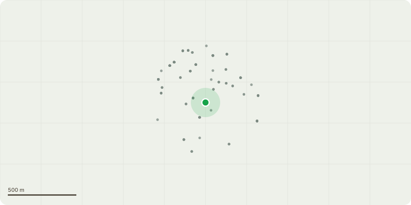
Approximate location
Proposal
S73 to vary conditions 2 (Approved plans), 25 (Garages) and 26 (Balcony Screening) of planning permission 22/04331/S73 (S73 variation of conditions 2 (Approved plans), 15 (Traffic Management plan) and 27 (Surface Water Drainage) of planning permission 18/1890/FUL (Erection of nine residential units comprising a terrace of 4 x three bedroom houses, 4 x two bedroom flats and 1 x one bedroom flat with access, car parking, and associated landscaping, following the demolition of the existing building on site, at Malta Road, Cambridge) to move the townhouses 0.5m off the northern boundary, to change the balcony material and to allow the commencement of foul drainage works to commence on site prior to submission of a traffic management plan and surface water drainage scheme) External lift to the apartment block omitted and relocated to the inside of the building in the entrance and remove external lift core, Window and door sizes standardised across the whole development, Hard landscaping updated largely due to removal of external apartment lift core, Apartment balcony screening amended to provide better quality outdoor space for residents and increased light and Internal layouts of the dwellings subject to minor amendments around the stair core to comply with Part B.
Key dates
- Received 7 Aug 2025
- Validated 7 Aug 2025
- Started 7 Aug 2025
- Decided 28 Apr 2026
Planning history / related applications
No related planning applications have been identified in the current public OGL dataset.
Inside plotEdge
Go beyond the public record
This page is the public OGL record. plotEdge adds the private intelligence layer for this site - open it in the app to unlock:
- Ownership & title Registered owner and title from HM Land Registry.
- Viability & build potential Site scoring and development upside.
- Constraints Flood risk, green belt, conservation areas and designations.
- Approval signal Planning risk and approval-likelihood analysis.
- Comparable applications Decisions on similar nearby sites, side by side.
- Status alerts Get notified the moment this application changes.
Source: public planning application data from Cambridge, reused under the Open Government Licence v3.0. View the council source record. Council documents and drawings are not republished on plotEdge.