Cambridge
Cambridge/25/0277/TTCA
80 High Street Melbourn Cambridgeshire SG8 6AL
- Reference
- Cambridge/25/0277/TTCA
- Authority
- Cambridge
- Application type
- TTCA
- Address
- 80 High Street Melbourn Cambridgeshire SG8 6AL
- Postcode
- SG8 6AL
- Status
- Decided
- Decision
- Have No Objection To
- Received
- 11 Mar 2025
- Validated
- 11 Mar 2025
- Started
- 11 Mar 2025
- Decided
- 14 Apr 2025
- Source council
- Cambridge
- Council source record
- View public record
- Public data licence
- Open Government Licence v3.0
- Record updated
- 18 Jul 2026
- SEO index generated
- 24 Jul 2026
Location
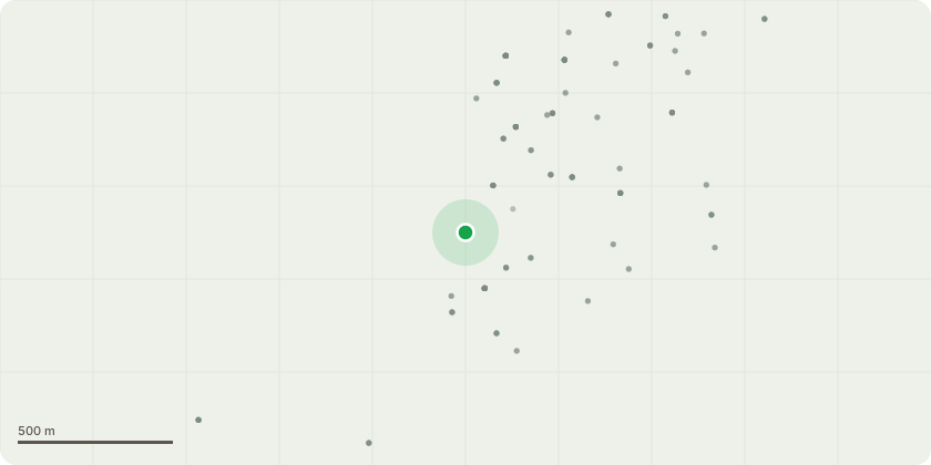
Approximate location
Proposal
T1 - Mature Horse Chestnut over driveway - Request a 4m crown lift over driveway to improve access from delivery vans etc. Removal of Ivy at base to re assess health of tree.T2 - Mature Rotten Horse Chestnut pollard on driveway - This tree has been poorly managed in the past. Its bark is falling away to reveal onset decay underneath and there is significant deadwood in the upper crown. Possible evidence of Brittle Cinder fungus at the base.Request a Monolith to 6m of this crown to remove risk of failure and retain as habitat.T3 - Mature Yew by corner of house - Request a gentle crown lift to 2m and target prune away from building to provide 1.5m clearance to improve. Aim of works is to improve pedestrian/car access and astetic of Yew, and protect building.T4 - Dead Weeping Ash - Removal to ground level.T5 - Rotten Weeping Ash - Removal to ground level.T6 - Holly in middle of driveway - Removal to ground level.T7 - Mature Bay in parking area - This tree is in good health but has not been managed for some years. It is also pushing against boundary wall.Request a 1.5m reduction to manage size.
Key dates
- Received 11 Mar 2025
- Validated 11 Mar 2025
- Started 11 Mar 2025
- Decided 14 Apr 2025
Planning history / related applications
No related planning applications have been identified in the current public OGL dataset.
Inside plotEdge
Go beyond the public record
This page is the public OGL record. plotEdge adds the private intelligence layer for this site - open it in the app to unlock:
- Ownership & title Registered owner and title from HM Land Registry.
- Viability & build potential Site scoring and development upside.
- Constraints Flood risk, green belt, conservation areas and designations.
- Approval signal Planning risk and approval-likelihood analysis.
- Comparable applications Decisions on similar nearby sites, side by side.
- Status alerts Get notified the moment this application changes.
Source: public planning application data from Cambridge, reused under the Open Government Licence v3.0. View the council source record. Council documents and drawings are not republished on plotEdge.