Cambridge
Cambridge/25/0111/TTPO
4 Grayway Close Highfields Caldecote Caldecote Cambridgeshire CB23 7UZ
- Reference
- Cambridge/25/0111/TTPO
- Authority
- Cambridge
- Application type
- TTPO
- Address
- 4 Grayway Close Highfields Caldecote Caldecote Cambridgeshire CB23 7UZ
- Postcode
- CB23 7UZ
- Status
- Withdrawn
- Decision
- Withdrawn
- Received
- 31 Jan 2025
- Validated
- 31 Jan 2025
- Started
- 31 Jan 2025
- Decided
- 9 Apr 2025
- Source council
- Cambridge
- Council source record
- View public record
- Public data licence
- Open Government Licence v3.0
- Record updated
- 18 Jul 2026
- SEO index generated
- 24 Jul 2026
Location
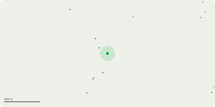
Approximate location
Proposal
T1 - Oak - Remove large lowest limb and reduce remaining crown by three metres. Reasons for work - 1. The tree is getting very close to the house and roots would therefore be encroaching on the foundations, and we would like to avoid any potential subsidence issues in the future. 2. Having a tree as large as that so close to the house is also a safety risk due to the increase in storms and higher winds we are getting. 3. Our outdoor seating area is now covered by one large over hanging branch that provides a perch for pigeons which drop huge amounts of bird faeces every day on tables and chairs. This is a significant health risk as we often have food and drink in those areas. Removing this large branch and cutting back the rest of the tree will significantly reduce quantity of pigeon faeces in our seating areas and will allow us to enjoy our garden again and the oak tree.Tree has grown 6m into their garden over hanging house roof and creating excessive shade.
Key dates
- Received 31 Jan 2025
- Validated 31 Jan 2025
- Started 31 Jan 2025
- Decided 9 Apr 2025
Planning history / related applications
No related planning applications have been identified in the current public OGL dataset.
Inside plotEdge
Go beyond the public record
This page is the public OGL record. plotEdge adds the private intelligence layer for this site - open it in the app to unlock:
- Ownership & title Registered owner and title from HM Land Registry.
- Viability & build potential Site scoring and development upside.
- Constraints Flood risk, green belt, conservation areas and designations.
- Approval signal Planning risk and approval-likelihood analysis.
- Comparable applications Decisions on similar nearby sites, side by side.
- Status alerts Get notified the moment this application changes.
Source: public planning application data from Cambridge, reused under the Open Government Licence v3.0. View the council source record. Council documents and drawings are not republished on plotEdge.