Cambridge
Cambridge/25/00259/NMA1
Addenbrookes NHS Hospital Trust 28 Long Road Cambridge Cambridgeshire CB2 8PS
- Reference
- Cambridge/25/00259/NMA1
- Authority
- Cambridge
- Application type
- Non-material amendment
- Address
- Addenbrookes NHS Hospital Trust 28 Long Road Cambridge Cambridgeshire CB2 8PS
- Postcode
- CB2 8PS
- Status
- Decided
- Decision
- Granted Permission
- Received
- 6 Feb 2026
- Validated
- 6 Feb 2026
- Started
- 6 Feb 2026
- Decided
- 14 Apr 2026
- Source council
- Cambridge
- Council source record
- View public record
- Public data licence
- Open Government Licence v3.0
- Record updated
- 18 Jul 2026
- SEO index generated
- 24 Jul 2026
Location
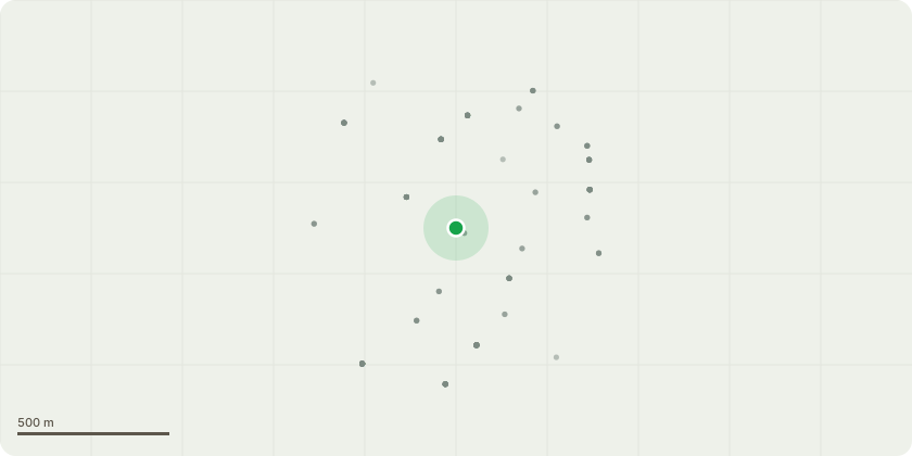
Approximate location
Proposal
Non material amendment of planning permission 25/00259/FUL Reduction of reinforced ground extent for fire tender access, Inclusion of a tool storage box in the south woodland near the Gardener's Hut, Inclusion of electrical kiosk behind covered bicycle and bin store, Omission of buried rainwater harvesting tank and addition of a rainwater barrel, Replacement of rooflight above central stairwell with roof lantern with clerestory glazing, Change to roofing material to single ply membrane from bitumen and metal, Relocation of roof access hatch, Reduction in extent and material change of escape stair enclosure/screen, Relocation of the ASHPs, Replacement of a secondary access door with a window, Relocation of west-facing windows at ground floor level, Omission of east-facing window at ground floor level, Inclusion of stove flue in section drawing and slight adjustment in plan location, Omission of batten cladding in recessed façade areas, Introduction of small zone of cladding or fixed glazing panes beneath high-level clerestory windows, Introduction of louvred access door to raised plinth and vary the wording of condition 7 ( Archaeological Evaluation).
Key dates
- Received 6 Feb 2026
- Validated 6 Feb 2026
- Started 6 Feb 2026
- Decided 14 Apr 2026
Planning history / related applications
No related planning applications have been identified in the current public OGL dataset.
Inside plotEdge
Go beyond the public record
This page is the public OGL record. plotEdge adds the private intelligence layer for this site - open it in the app to unlock:
- Ownership & title Registered owner and title from HM Land Registry.
- Viability & build potential Site scoring and development upside.
- Constraints Flood risk, green belt, conservation areas and designations.
- Approval signal Planning risk and approval-likelihood analysis.
- Comparable applications Decisions on similar nearby sites, side by side.
- Status alerts Get notified the moment this application changes.
Source: public planning application data from Cambridge, reused under the Open Government Licence v3.0. View the council source record. Council documents and drawings are not republished on plotEdge.