Cambridge
Cambridge/24/1292/TTPO
17 Saberton Close Waterbeach Cambridgeshire CB25 9QW
- Reference
- Cambridge/24/1292/TTPO
- Authority
- Cambridge
- Application type
- TTPO
- Address
- 17 Saberton Close Waterbeach Cambridgeshire CB25 9QW
- Postcode
- CB25 9QW
- Status
- Decided
- Decision
- Granted Permission
- Received
- 12 Nov 2024
- Validated
- 12 Nov 2024
- Started
- 12 Nov 2024
- Decided
- 22 Jan 2025
- Source council
- Cambridge
- Council source record
- View public record
- Public data licence
- Open Government Licence v3.0
- Record updated
- 18 Jul 2026
- SEO index generated
- 24 Jul 2026
Location
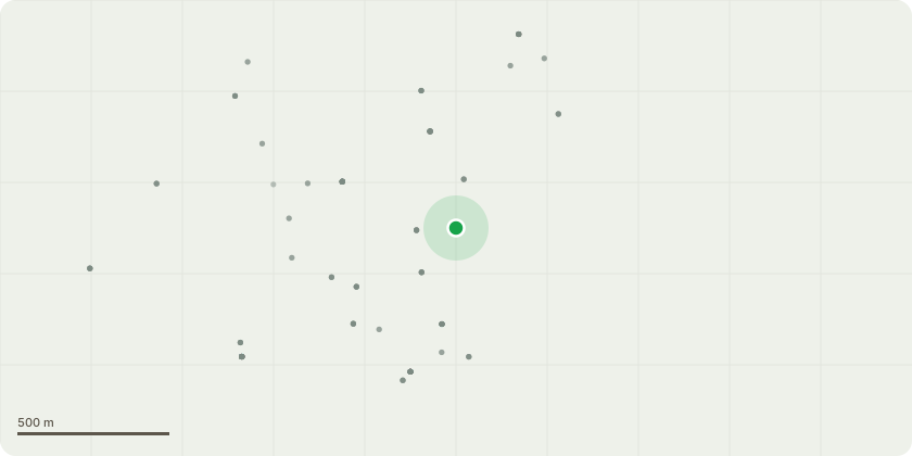
Approximate location
Proposal
I believe it is down as a Walnut tree but the tree we have is an Ash tree. There was a Walnut tree in the garden of the house next door but that tree isn't there anymore. Work: trim maybe 2 metres from 3 points of the tree. Point one is above our own garden as it is hanging lower and lower each year. Point 2 is above the dead end road that sits behind the back fence of our property where the tree is again hanging too low and point 3 is where the tree is hanging over the garden of one of the Neighbours house.Reason: to keep the clearances sufficient from our own garden, the road, to the garages behind us and the neighbours garden behind us. The tree is very brittle and quite large bits do fall off. I have two small children often in the garden.
Key dates
- Received 12 Nov 2024
- Validated 12 Nov 2024
- Started 12 Nov 2024
- Decided 22 Jan 2025
Planning history / related applications
No related planning applications have been identified in the current public OGL dataset.
Inside plotEdge
Go beyond the public record
This page is the public OGL record. plotEdge adds the private intelligence layer for this site - open it in the app to unlock:
- Ownership & title Registered owner and title from HM Land Registry.
- Viability & build potential Site scoring and development upside.
- Constraints Flood risk, green belt, conservation areas and designations.
- Approval signal Planning risk and approval-likelihood analysis.
- Comparable applications Decisions on similar nearby sites, side by side.
- Status alerts Get notified the moment this application changes.
Source: public planning application data from Cambridge, reused under the Open Government Licence v3.0. View the council source record. Council documents and drawings are not republished on plotEdge.