Cambridge
Cambridge/24/03964/NMA2
Land At 6-7, 8, 9-11, 13, 14-16 Mercers Row Cambridge Cambridgeshire CB5 8HY
- Reference
- Cambridge/24/03964/NMA2
- Authority
- Cambridge
- Application type
- Non-material amendment
- Address
- Land At 6-7, 8, 9-11, 13, 14-16 Mercers Row Cambridge Cambridgeshire CB5 8HY
- Postcode
- CB5 8HY
- Status
- Decided
- Decision
- Granted Permission
- Received
- 23 Feb 2026
- Validated
- 23 Feb 2026
- Started
- 23 Feb 2026
- Decided
- 24 Mar 2026
- Source council
- Cambridge
- Council source record
- View public record
- Public data licence
- Open Government Licence v3.0
- Record updated
- 18 Jul 2026
- SEO index generated
- 24 Jul 2026
Location
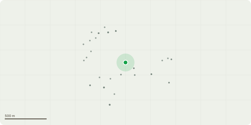
Approximate location
Proposal
Non material amendment on application 24/03964/FUL for amendments to the 1) Removal of all windows along east elevation to Unit 1 at ground floor. 2) Removal of bi-fold expanding mesh panels at first floor to northern elevation windows of Unit 1 (replacing with a film to mitigate light pollution). 3) Removal of bi-fold expanding mesh panels at ground floor to western elevation windows of Unit 2. 4) Removal of fritting to ground floor windows. 5) Removal of cat ladders and roof hatches from warehouse areas. 6) Reverting to metal feature stair in lieu of concrete. 7) Adjusting final position of internal escape stairs. 8)Introducing compartment breaks in the north facing polycarbonate wall lights in the form of solid composite metal panels. 9) Removal of expanding mesh feature/ signage panel at unit entrances. 10) Changed single swing escape doors to double leaf escape doors at ground floor to meet U-values, fire and security requirements. 11) Lowering of the head of the ground floor windows and string course by 300mm to meet the maximum fire rated glazing requirements. 12) Internal changes to meet Wired score requirements. i.e. additional Comms Room at ground floor. 13) Splash pads added along footpath adjacent to Unit 2 west elevation.
Key dates
- Received 23 Feb 2026
- Validated 23 Feb 2026
- Started 23 Feb 2026
- Decided 24 Mar 2026
Planning history / related applications
No related planning applications have been identified in the current public OGL dataset.
Inside plotEdge
Go beyond the public record
This page is the public OGL record. plotEdge adds the private intelligence layer for this site - open it in the app to unlock:
- Ownership & title Registered owner and title from HM Land Registry.
- Viability & build potential Site scoring and development upside.
- Constraints Flood risk, green belt, conservation areas and designations.
- Approval signal Planning risk and approval-likelihood analysis.
- Comparable applications Decisions on similar nearby sites, side by side.
- Status alerts Get notified the moment this application changes.
Source: public planning application data from Cambridge, reused under the Open Government Licence v3.0. View the council source record. Council documents and drawings are not republished on plotEdge.