Buckinghamshire
Buckinghamshire/PL/26/00720/FA
O'neills 7 Pauls Row High Wycombe Buckinghamshire HP11 2HQ
- Reference
- Buckinghamshire/PL/26/00720/FA
- Authority
- Buckinghamshire
- Application type
- FA
- Address
- O'neills 7 Pauls Row High Wycombe Buckinghamshire HP11 2HQ
- Postcode
- HP11 2HQ
- Status
- Decided
- Decision
- Refused
- Received
- 9 Apr 2026
- Validated
- 9 Apr 2026
- Started
- 9 Apr 2026
- Decided
- 4 Jun 2026
- Source council
- Buckinghamshire
- Council source record
- View public record
- Public data licence
- Open Government Licence v3.0
- Record updated
- 18 Jul 2026
- SEO index generated
- 24 Jul 2026
Location
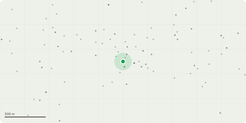
Approximate location
Proposal
Proposed internal and external refurbishment to improve both functionality and appearance. Externally, works include a new covered pergola with rafters and an externally mounted TV, illuminated barrel sign, fixed seating, fixed booths at the beer garden entrance, loose tables and chairs, a new DDA-compliant access, perimeter festoon lighting, new external furniture, and jet washing of existing paved surfaces. The building will be redecorated with a green finish to the lower half, timber panels above, and off-white paint on the rendered surfaces. Internally, the works comprise a new illuminated front bar and modifications to the rear bar to O'Neills specifications, retention and refurbishment of timber flooring, new brick-slip parquet tiles to the bar apron, new decorative finishes, lighting, furniture, and fixed rear booths with ceiling planting rafters, alongside refurbishment of selected existing furniture
Key dates
- Received 9 Apr 2026
- Validated 9 Apr 2026
- Started 9 Apr 2026
- Decided 4 Jun 2026
Planning history / related applications
No related planning applications have been identified in the current public OGL dataset.
Inside plotEdge
Go beyond the public record
This page is the public OGL record. plotEdge adds the private intelligence layer for this site - open it in the app to unlock:
- Ownership & title Registered owner and title from HM Land Registry.
- Viability & build potential Site scoring and development upside.
- Constraints Flood risk, green belt, conservation areas and designations.
- Approval signal Planning risk and approval-likelihood analysis.
- Comparable applications Decisions on similar nearby sites, side by side.
- Status alerts Get notified the moment this application changes.
Source: public planning application data from Buckinghamshire, reused under the Open Government Licence v3.0. View the council source record. Council documents and drawings are not republished on plotEdge.