Broxbourne
Broxbourne/07/25/0575/TW
- Reference
- Broxbourne/07/25/0575/TW
- Authority
- Broxbourne
- Received
- 26 Jun 2025
- Started
- 26 Jun 2025
- Decided
- 22 Jul 2025
- Source council
- Broxbourne
- Council source record
- View public record
- Public data licence
- Open Government Licence v3.0
- Record updated
- 9 Jul 2026
- SEO index generated
- 24 Jul 2026
Location
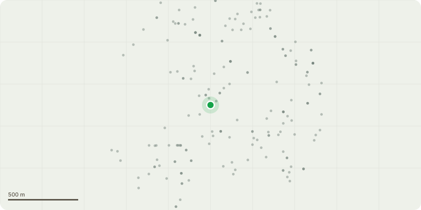
Approximate location
Proposal
1) T2 Sycamore Tree which is largest in rear garden - western side, which has 2 x large branches, suspected to be infested with woodworm. A 4 foot large chunk of this tree fell onto roof of my house - March 2025. This broke approx 12 x roof tiles. This same tree is approx 2.5 - 3.0 metres from my house & we have to pass under said tree to access our garden. There is a high risk of further dead branches breaking off and falling on house or persons accessing rear garden. (See photos attached of dead branches & large broken branch). The work required to this tree would involve crown reduction plus reducing the overhanging branches by 40% off mine & the branches that overhang my neighbours property (114 Churchgate). To provide safe access to my garden without fear of falling branches from T2 and its dead branches etc. 2) Medium Conifer (not marked on sketch plan but is in North Western corner, bottom end of my property) close to my shed, leaning towards outbuildings in 114 Churchgate gar... read more
Key dates
- Received 26 Jun 2025
- Started 26 Jun 2025
- Decided 22 Jul 2025
Planning history / related applications
No related planning applications have been identified in the current public OGL dataset.
Inside plotEdge
Go beyond the public record
This page is the public OGL record. plotEdge adds the private intelligence layer for this site - open it in the app to unlock:
- Ownership & title Registered owner and title from HM Land Registry.
- Viability & build potential Site scoring and development upside.
- Constraints Flood risk, green belt, conservation areas and designations.
- Approval signal Planning risk and approval-likelihood analysis.
- Comparable applications Decisions on similar nearby sites, side by side.
- Status alerts Get notified the moment this application changes.
Source: public planning application data from Broxbourne, reused under the Open Government Licence v3.0. View the council source record. Council documents and drawings are not republished on plotEdge.