Bromsgrove
Bromsgrove/TPO26/059
16 Woodberrow Lane Redditch Worcestershire B97 5PA
- Reference
- Bromsgrove/TPO26/059
- Authority
- Bromsgrove
- Address
- 16 Woodberrow Lane Redditch Worcestershire B97 5PA
- Postcode
- B97 5PA
- Status
- Application Granted
- Decision
- Trees Granted
- Received
- 20 Apr 2026
- Validated
- 6 May 2026
- Started
- 6 May 2026
- Decided
- 9 Jun 2026
- Source council
- Bromsgrove
- Council source record
- View public record
- Public data licence
- Open Government Licence v3.0
- Record updated
- 18 Jul 2026
- SEO index generated
- 24 Jul 2026
Location
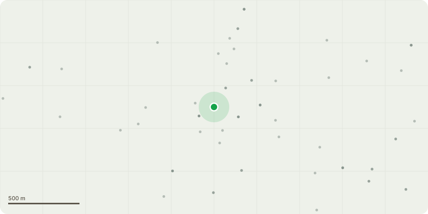
Approximate location
Proposal
Having sought advice from locally based tree surgeons I have been informed that the tree requires significant work. I have been informed by all that I should request from yourselves a Crown thinning, Crown reduction and Crown Lift. Removal of dead and loose branches.This request follows complaints from neighbours of damage caused to building roof due to falling branches and debris, excessive fouling of family areas by birds. The tree and general size is seriously affecting the wellbeing of 4 neighbouring addresses in addition to the applicatnts address. The tree is now over hanging livening accommodation and this is raising questions with House and Buildings Insurance policies.
Key dates
- Received 20 Apr 2026
- Validated 6 May 2026
- Started 6 May 2026
- Decided 9 Jun 2026
Planning history / related applications
No related planning applications have been identified in the current public OGL dataset.
Inside plotEdge
Go beyond the public record
This page is the public OGL record. plotEdge adds the private intelligence layer for this site - open it in the app to unlock:
- Ownership & title Registered owner and title from HM Land Registry.
- Viability & build potential Site scoring and development upside.
- Constraints Flood risk, green belt, conservation areas and designations.
- Approval signal Planning risk and approval-likelihood analysis.
- Comparable applications Decisions on similar nearby sites, side by side.
- Status alerts Get notified the moment this application changes.
Source: public planning application data from Bromsgrove, reused under the Open Government Licence v3.0. View the council source record. Council documents and drawings are not republished on plotEdge.