Bromsgrove
Bromsgrove/TPO25/255
16 Middleton Close Redditch Worcestershire B98 0LX
- Reference
- Bromsgrove/TPO25/255
- Authority
- Bromsgrove
- Address
- 16 Middleton Close Redditch Worcestershire B98 0LX
- Postcode
- B98 0LX
- Status
- Application Granted
- Decision
- Trees Granted
- Received
- 9 Dec 2025
- Validated
- 10 Dec 2025
- Started
- 10 Dec 2025
- Decided
- 5 Feb 2026
- Source council
- Bromsgrove
- Council source record
- View public record
- Public data licence
- Open Government Licence v3.0
- Record updated
- 18 Jul 2026
- SEO index generated
- 24 Jul 2026
Location
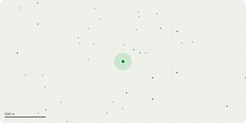
Approximate location
Proposal
T1 Turkey Oak (Quercus cerris)Proposed WorksHeight Reduction: Reduce overall height by approximately 4 metres. Crown Spread Reduction: Reduce lateral spread by approximately 2 metres. Crown Thinning: Selective thinning of the crown (approx. 15???20%) to remove crossing, suppressed, and weak branches. JustificationThe tree currently overshadows the property roof, significantly reducing available light. The property owner intends to install solar panels; improved light penetration is essential for efficiency. Works are intended to balance amenity value with practical use of renewable energy. The proposed reduction is modest, retaining the tree???s natural form and amenity contribution to the landscape. Compliance with BS3998:2010Reduction cuts will be made back to suitable growth points, maintaining branch structure and avoiding flush cuts. Thinning operations will focus on removing poor-quality, crossing, or competing branches to improve crown structure and airflow. Wound size will be minimised, avoiding cuts greater than one-third of the parent branch diameter. Overall balance of the crown will be maintained to preserve the tree???s natural shape and stability. Wildlife considerations: Works will avoid nesting season and comply with the Wildlife and Countryside Act 1981. Additional NotesAll works will be carried out by qualified arborists with appropriate insurance. Debris will be removed from site and disposed of responsibly. No works will affect the tree???s rooting area.
Key dates
- Received 9 Dec 2025
- Validated 10 Dec 2025
- Started 10 Dec 2025
- Decided 5 Feb 2026
Planning history / related applications
No related planning applications have been identified in the current public OGL dataset.
Inside plotEdge
Go beyond the public record
This page is the public OGL record. plotEdge adds the private intelligence layer for this site - open it in the app to unlock:
- Ownership & title Registered owner and title from HM Land Registry.
- Viability & build potential Site scoring and development upside.
- Constraints Flood risk, green belt, conservation areas and designations.
- Approval signal Planning risk and approval-likelihood analysis.
- Comparable applications Decisions on similar nearby sites, side by side.
- Status alerts Get notified the moment this application changes.
Source: public planning application data from Bromsgrove, reused under the Open Government Licence v3.0. View the council source record. Council documents and drawings are not republished on plotEdge.