Bromsgrove
Bromsgrove/TPO25/249
2 The Orchards Hollywood Worcestershire B47 5NZ
- Reference
- Bromsgrove/TPO25/249
- Authority
- Bromsgrove
- Address
- 2 The Orchards Hollywood Worcestershire B47 5NZ
- Postcode
- B47 5NZ
- Status
- Application Granted
- Decision
- Trees Granted
- Received
- 24 Nov 2025
- Validated
- 5 Dec 2025
- Started
- 5 Dec 2025
- Decided
- 2 Feb 2026
- Source council
- Bromsgrove
- Council source record
- View public record
- Public data licence
- Open Government Licence v3.0
- Record updated
- 18 Jul 2026
- SEO index generated
- 24 Jul 2026
Location
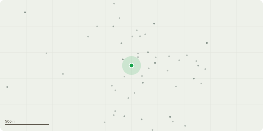
Approximate location
Proposal
T1 - Oak The oak tree is a large, mature specimen approximately 22 m in height, with an overall crown spread of around 8 m on the southern aspect. The tree previously lost its main central stem, and a substantial amount of subsequent regrowth has developed over the property. This regrowth now forms the dominant crown structure on the southern side.I am applying to reduce the overall height of the tree by approximately 4 m (from 22 m to around 18 m) and to reduce the southern crown spread by approximately 4 m ( from 8 m to 4 m). This will retain an even, balanced crown with an approximate 4 m overhang onto my garden.Reasons for the proposed works:Management of historic structural defects: The historic loss of the central stem has resulted in asymmetric regrowth now extending over the property. Reduction will help manage loading on these secondary limbs, reducing the risk of structural failure and improving long-term crown stability.Improvement of light levels to the property and garden: The current canopy significantly shades the southern side of the house and garden throughout the day. A modest reduction will allow more natural light into the living areas and garden without harming the character or amenity value of the tree.
Key dates
- Received 24 Nov 2025
- Validated 5 Dec 2025
- Started 5 Dec 2025
- Decided 2 Feb 2026
Planning history / related applications
No related planning applications have been identified in the current public OGL dataset.
Inside plotEdge
Go beyond the public record
This page is the public OGL record. plotEdge adds the private intelligence layer for this site - open it in the app to unlock:
- Ownership & title Registered owner and title from HM Land Registry.
- Viability & build potential Site scoring and development upside.
- Constraints Flood risk, green belt, conservation areas and designations.
- Approval signal Planning risk and approval-likelihood analysis.
- Comparable applications Decisions on similar nearby sites, side by side.
- Status alerts Get notified the moment this application changes.
Source: public planning application data from Bromsgrove, reused under the Open Government Licence v3.0. View the council source record. Council documents and drawings are not republished on plotEdge.