Bromsgrove
Bromsgrove/TPO25/100
Heathbrook House Care Home 223 - 239 Worcester Road Stoke Heath Worcestershire B61 7JA
- Reference
- Bromsgrove/TPO25/100
- Authority
- Bromsgrove
- Address
- Heathbrook House Care Home 223 - 239 Worcester Road Stoke Heath Worcestershire B61 7JA
- Postcode
- B61 7JA
- Status
- Application Granted
- Decision
- Trees Granted
- Received
- 24 May 2025
- Validated
- 29 May 2025
- Started
- 29 May 2025
- Decided
- 20 Jun 2025
- Source council
- Bromsgrove
- Council source record
- View public record
- Public data licence
- Open Government Licence v3.0
- Record updated
- 18 Jul 2026
- SEO index generated
- 24 Jul 2026
Location
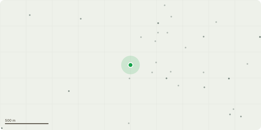
Approximate location
Proposal
G1 - Mixed species - Mix of selfset trees and vegetation around larger trees. Clear vegetation including severing of ivy to assist future inspectionsT2 - Cherry - Crown raise over car park to 2.5mT7 - Apple - Crown raise to 2m to assist grass cutting. T8 - Sycamore - Sever and Remove Ivy to 1.5m Above Ground LevelT10 - Cherry - Formative prune. Prune back low branching encroaching on road and balance canopy T14 - Sycamore - Clear ground vegetation around base of tree and remove ivy up to 2m to facilitate future inspectionT17 - Himalayan Birch - Remove snapped limb from crownT23 - Scots Pine - Sever and Remove Ivy to 1.5m Above Ground LevelT25 - Western red cedar - Reduce over extended branch protruding from west side of canopy at 1.8m Prune back to canopy edge T28 - False acacia - Crown lift small diameter branching of <50mm in diameter over lawned area to allow grass cutting
Key dates
- Received 24 May 2025
- Validated 29 May 2025
- Started 29 May 2025
- Decided 20 Jun 2025
Planning history / related applications
No related planning applications have been identified in the current public OGL dataset.
Inside plotEdge
Go beyond the public record
This page is the public OGL record. plotEdge adds the private intelligence layer for this site - open it in the app to unlock:
- Ownership & title Registered owner and title from HM Land Registry.
- Viability & build potential Site scoring and development upside.
- Constraints Flood risk, green belt, conservation areas and designations.
- Approval signal Planning risk and approval-likelihood analysis.
- Comparable applications Decisions on similar nearby sites, side by side.
- Status alerts Get notified the moment this application changes.
Source: public planning application data from Bromsgrove, reused under the Open Government Licence v3.0. View the council source record. Council documents and drawings are not republished on plotEdge.