Bromsgrove
Bromsgrove/TPO25/067
11 Marsh Way Catshill Worcestershire B61 0JD
- Reference
- Bromsgrove/TPO25/067
- Authority
- Bromsgrove
- Address
- 11 Marsh Way Catshill Worcestershire B61 0JD
- Postcode
- B61 0JD
- Status
- Application Granted
- Decision
- Trees Granted
- Received
- 9 Apr 2025
- Validated
- 11 Apr 2025
- Started
- 11 Apr 2025
- Decided
- 2 Jun 2025
- Source council
- Bromsgrove
- Council source record
- View public record
- Public data licence
- Open Government Licence v3.0
- Record updated
- 18 Jul 2026
- SEO index generated
- 24 Jul 2026
Location
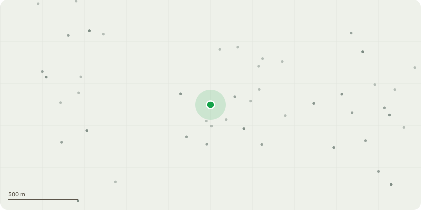
Approximate location
Proposal
Felling of Oak Tree - we will happily pay to have oak trees planted within the community in the right locationsThe tree is dangerous and poses an immediate risk of serious harm, structural issues leaning The tree is causing a nuisance & H&S risk due to bird droppings Inappropriate location to close to a residential area Excessive shade blocking too much light from other plants or solar panels.unable to enjoy the garden as we simply get plastered in bird pooblocking drains & guttering Too close to houses, can cause damage if they fall or if branches break off. Increased Safety height of the tree & srong winds pose a threat to life - Removing the tree removes the threat of causing damage & lose of life Remove The Stress this tree is playing on residents mental heath due to the high risk is causes
Key dates
- Received 9 Apr 2025
- Validated 11 Apr 2025
- Started 11 Apr 2025
- Decided 2 Jun 2025
Planning history / related applications
No related planning applications have been identified in the current public OGL dataset.
Inside plotEdge
Go beyond the public record
This page is the public OGL record. plotEdge adds the private intelligence layer for this site - open it in the app to unlock:
- Ownership & title Registered owner and title from HM Land Registry.
- Viability & build potential Site scoring and development upside.
- Constraints Flood risk, green belt, conservation areas and designations.
- Approval signal Planning risk and approval-likelihood analysis.
- Comparable applications Decisions on similar nearby sites, side by side.
- Status alerts Get notified the moment this application changes.
Source: public planning application data from Bromsgrove, reused under the Open Government Licence v3.0. View the council source record. Council documents and drawings are not republished on plotEdge.