Bromsgrove
Bromsgrove/TPO25/019
5 The Drive Redditch Worcestershire B97 6QE
- Reference
- Bromsgrove/TPO25/019
- Authority
- Bromsgrove
- Address
- 5 The Drive Redditch Worcestershire B97 6QE
- Postcode
- B97 6QE
- Status
- Application Granted
- Decision
- Trees Granted
- Received
- 17 Jan 2025
- Validated
- 17 Jan 2025
- Started
- 17 Jan 2025
- Decided
- 21 Jan 2025
- Source council
- Bromsgrove
- Council source record
- View public record
- Public data licence
- Open Government Licence v3.0
- Record updated
- 18 Jul 2026
- SEO index generated
- 24 Jul 2026
Location
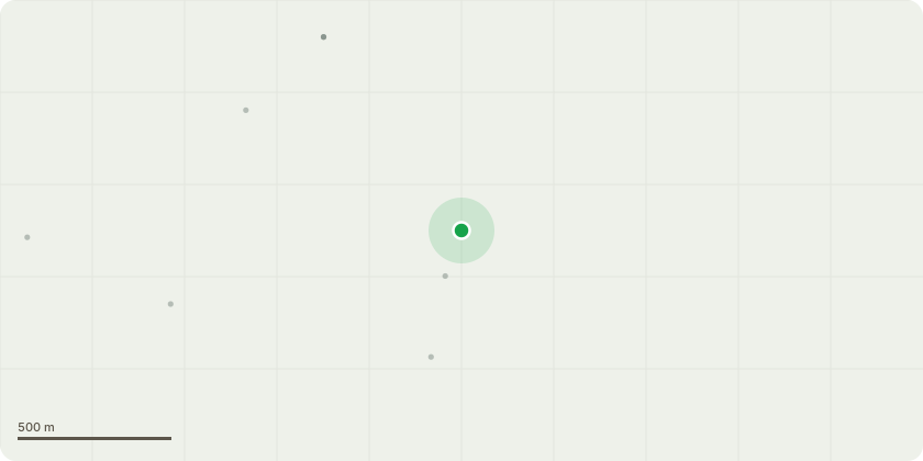
Approximate location
Proposal
There are some leylandii around the bottom right of the property. Near the house. None of there trees have TPOs. They where originallyplanted to form a hedge, but over the year under the care of previous owners the hedge has become out of control. In recent storms it has become apparent that there leylandii can fall. The subsequent rain also caused one to fall. A previous application is to reduce the over grown hedge to 50% has been applied for.This application is concerning a few trees that are nearer the house, these particular trees in question would if fall would fall in the play area and hit the house and the bedrooms. We want to prove a safe play space. Therefore; we are asking if we can for this area return the what was a hedge back to a hedge. Removing the very over grown hedge area and replace with a manageable, safe hedge. Re-establishing the original purpose.
Key dates
- Received 17 Jan 2025
- Validated 17 Jan 2025
- Started 17 Jan 2025
- Decided 21 Jan 2025
Planning history / related applications
No related planning applications have been identified in the current public OGL dataset.
Inside plotEdge
Go beyond the public record
This page is the public OGL record. plotEdge adds the private intelligence layer for this site - open it in the app to unlock:
- Ownership & title Registered owner and title from HM Land Registry.
- Viability & build potential Site scoring and development upside.
- Constraints Flood risk, green belt, conservation areas and designations.
- Approval signal Planning risk and approval-likelihood analysis.
- Comparable applications Decisions on similar nearby sites, side by side.
- Status alerts Get notified the moment this application changes.
Source: public planning application data from Bromsgrove, reused under the Open Government Licence v3.0. View the council source record. Council documents and drawings are not republished on plotEdge.