Bromsgrove
Bromsgrove/TPO25/014
8 Rookery Close Redditch Worcestershire B97 4LP
- Reference
- Bromsgrove/TPO25/014
- Authority
- Bromsgrove
- Address
- 8 Rookery Close Redditch Worcestershire B97 4LP
- Postcode
- B97 4LP
- Status
- Application Refused
- Decision
- Refusal Trees
- Received
- 14 Jan 2025
- Validated
- 21 Jan 2025
- Started
- 21 Jan 2025
- Decided
- 27 Feb 2025
- Source council
- Bromsgrove
- Council source record
- View public record
- Public data licence
- Open Government Licence v3.0
- Record updated
- 18 Jul 2026
- SEO index generated
- 24 Jul 2026
Location
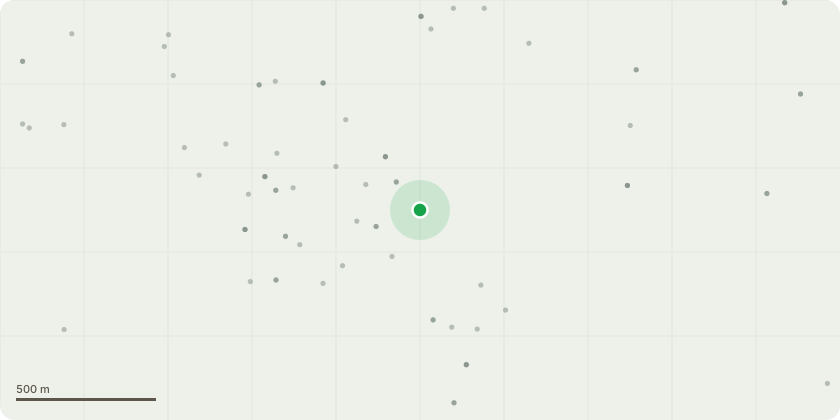
Approximate location
Proposal
A 50foot horse chestnut tree, continuously dropping branches and conkers to cause damage to the garden. We have had to replace garden furniture which has been smashed due to branches and conkers falling. During alot of the storms, there have been big branches fallen, including to the neighbours garden who are also happy to write a letter stating their garden has become at risk from this tree. My dog has also choked numerous times on conkers which are extremely dangerous to animals. We have had a tree surgeon round, who is happy to provide a written statement, stating the bottom of the tree is decaying. This is causing extreme worry due to the size of the tree and branches, both for our house and also our garden buildings.We have pictures for the amount of leaves that fall in autumn and it just ridiculously slippy and completely swamps the garden, which doesn't allow us to see risks in the garden. The tree surgeon has suggested having a ??? Resistograph ??? to show the damage. I would like this tree gone from my garden, as would my neighbour.
Key dates
- Received 14 Jan 2025
- Validated 21 Jan 2025
- Started 21 Jan 2025
- Decided 27 Feb 2025
Planning history / related applications
No related planning applications have been identified in the current public OGL dataset.
Inside plotEdge
Go beyond the public record
This page is the public OGL record. plotEdge adds the private intelligence layer for this site - open it in the app to unlock:
- Ownership & title Registered owner and title from HM Land Registry.
- Viability & build potential Site scoring and development upside.
- Constraints Flood risk, green belt, conservation areas and designations.
- Approval signal Planning risk and approval-likelihood analysis.
- Comparable applications Decisions on similar nearby sites, side by side.
- Status alerts Get notified the moment this application changes.
Source: public planning application data from Bromsgrove, reused under the Open Government Licence v3.0. View the council source record. Council documents and drawings are not republished on plotEdge.