Bromsgrove
Bromsgrove/TPO24/175
2 Hagley Grange Hagley Worcestershire DY9 0NQ
- Reference
- Bromsgrove/TPO24/175
- Authority
- Bromsgrove
- Address
- 2 Hagley Grange Hagley Worcestershire DY9 0NQ
- Postcode
- DY9 0NQ
- Status
- Application Granted
- Decision
- Trees Granted
- Received
- 20 Oct 2024
- Validated
- 24 Oct 2024
- Started
- 24 Oct 2024
- Decided
- 3 Feb 2025
- Source council
- Bromsgrove
- Council source record
- View public record
- Public data licence
- Open Government Licence v3.0
- Record updated
- 18 Jul 2026
- SEO index generated
- 24 Jul 2026
Location
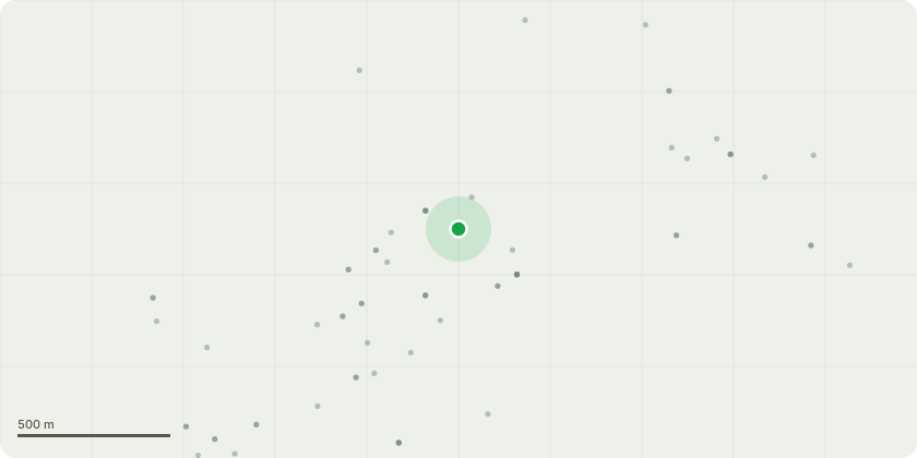
Approximate location
Proposal
Silver Birch Tree T1. A mature tree, forked into two main stems of equal size at ground level. Height approx 15m, crown width 8m. Signs of past tree work include trimming and deadwood removal. Leaf cover is good however the crown is uneven.There does not appear to be any decay to the stems or near ground level where the tree forks.Tree Work proposal. Reduce the height of the crown by 5m and reshape the remaining crown to give a balanced tree.ReasonsThe tree has two target areas that are close to the tree. The adjoining property buildings are under the crown cover to one side and the other building is within 5m of the crown. There is a possibility that where the tree is forked the two main stems would fall on either one of the buildings.The work would be to reduce the risk of the tree collapsing and therefore prolong its useful life expectancy. Leylandii T2A semi mature tree that is multi stemmed. Height 12m, crown spread 4mPast tree works include raising the crown over the garden.Tree Work ProposalRemove lower limb Reasons Allow more light into the property as this is only a small garden and there are 4 large trees within the boundary.
Key dates
- Received 20 Oct 2024
- Validated 24 Oct 2024
- Started 24 Oct 2024
- Decided 3 Feb 2025
Planning history / related applications
No related planning applications have been identified in the current public OGL dataset.
Inside plotEdge
Go beyond the public record
This page is the public OGL record. plotEdge adds the private intelligence layer for this site - open it in the app to unlock:
- Ownership & title Registered owner and title from HM Land Registry.
- Viability & build potential Site scoring and development upside.
- Constraints Flood risk, green belt, conservation areas and designations.
- Approval signal Planning risk and approval-likelihood analysis.
- Comparable applications Decisions on similar nearby sites, side by side.
- Status alerts Get notified the moment this application changes.
Source: public planning application data from Bromsgrove, reused under the Open Government Licence v3.0. View the council source record. Council documents and drawings are not republished on plotEdge.