Bromsgrove
Bromsgrove/TPO24/154
123 Royal Worcester Crescent Bromsgrove Worcestershire B60 2TG
- Reference
- Bromsgrove/TPO24/154
- Authority
- Bromsgrove
- Address
- 123 Royal Worcester Crescent Bromsgrove Worcestershire B60 2TG
- Postcode
- B60 2TG
- Status
- Application Granted
- Decision
- Trees Granted
- Received
- 12 Sept 2024
- Validated
- 12 Sept 2024
- Started
- 12 Sept 2024
- Decided
- 13 Nov 2024
- Source council
- Bromsgrove
- Council source record
- View public record
- Public data licence
- Open Government Licence v3.0
- Record updated
- 18 Jul 2026
- SEO index generated
- 24 Jul 2026
Location
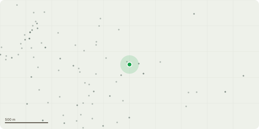
Approximate location
Proposal
Chestnut tree labelled T3 in our back garden. It has been a number of years since the last weight reduction of this tree. It has previously beenreviewed by Mr Gavin Boyes. Despite the tree's age, it seems to growing faster than ever. There is a history of large boughs breaking off and Iam very concerned about the risk of further major boughs breaking and causing damage to property or seriously injuring family or passers by.The tree is also blocking a large amount of light into the garden and the droppage is becoming very hard to manage. We have always beenproponents of preserving this tree and have respected the TPO. We do however find this tree to be a real worry given its age and history.Please can we request a further review of this tree with a view to another significant weight reduction of the tree
Key dates
- Received 12 Sept 2024
- Validated 12 Sept 2024
- Started 12 Sept 2024
- Decided 13 Nov 2024
Planning history / related applications
No related planning applications have been identified in the current public OGL dataset.
Inside plotEdge
Go beyond the public record
This page is the public OGL record. plotEdge adds the private intelligence layer for this site - open it in the app to unlock:
- Ownership & title Registered owner and title from HM Land Registry.
- Viability & build potential Site scoring and development upside.
- Constraints Flood risk, green belt, conservation areas and designations.
- Approval signal Planning risk and approval-likelihood analysis.
- Comparable applications Decisions on similar nearby sites, side by side.
- Status alerts Get notified the moment this application changes.
Source: public planning application data from Bromsgrove, reused under the Open Government Licence v3.0. View the council source record. Council documents and drawings are not republished on plotEdge.